Medium airport · France

Ajaccio Napoléon Bonaparte airportLFKJ
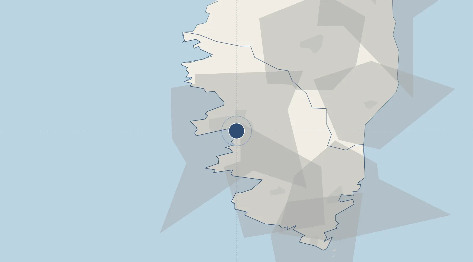
41.9236°, 8.8029°
7,897 ft
Longest runway
1
Runways
18 ft
Elevation

Runway & Layout

Ajaccio Napoléon Bonaparte airport runway & taxiway layout
Runway & taxiway layout — OpenStreetMap (ODbL) / OurAirports

Radio Frequencies

ATIS
126.925 MHz
AJACCIO ATIS
TWR
118.075 MHz
AJACCIO TWR
GND
121.7 MHz
AJACCIO GND
APP
121.05 MHz
AJACCIO APP
AFIS
119.825 MHz
OurAirports

Navaids

IS NDB Ajaccio/Campo Dell Oro 341 kHz
OurAirports

Runways · 1

RunwayDimensions SurfaceTrue headingLit
02/20 7,897 × 148ft Asphalt 025°
OurAirports

Airport Specifications

IATA code
AJA
OurAirports
ICAO code
LFKJ
OurAirports
Airport class
Medium airport
OurAirports
Scheduled service
Yes
OurAirports
Runway surface
Asphalt
OurAirports
Served city
Ajaccio
OurAirports

Location

Location of LFKJ
Natural Earth 10m (public domain) · Corse-du-Sud · LFKJ · 41.92, 8.80GoogleOSMYandex

Nearby Logistics Neighbours

Airports
  1. 1Solenzara (BA 126) Air Base50 km
  2. 2Figari Sud-Corse Airport53 km
  3. 3Calvi Sainte Catherine Airport68 km
  4. 4Bastia-Poretta International airport90 km
  5. 5Olbia Costa Smeralda Airport129 km
Nearest neighbours — logibook spatial index (haversine) over the source coordinates
Cities
  1. 1Figueiro6 km
  2. 2Ajaccio6 km
  3. 3Cauro10 km
  4. 4Cognocoli14 km
  5. 5Grosseto-Prugna15 km
Nearest neighbours — logibook spatial index (haversine) over the source coordinates
Ports
  1. 1Port D' Ajaccio4 km
  2. 2Port De Propriano28 km
  3. 3Porto Vecchio55 km
  4. 4Bonifacio67 km
  5. 5Calvi72 km
Nearest neighbours — logibook spatial index (haversine) over the source coordinates
Trade Zones
  1. 1Sardinia Special Economic Zone Area149 km
  2. 2ZFU LAriane238 km
  3. 3ZFU Toulon270 km
  4. 4ZFU La Seyne-sur-Mer275 km
  5. 5Free Zone of Portovesme306 km
Nearest neighbours — logibook spatial index (haversine) over the source coordinates
DatabookThe Record of Consolidated Knowledge
France beyond logistics?
Browse databook

All Sources

AirportsOurAirports
Public domain
Portsthe NGA World Port Index
Public domain (US gov)
LocationsUN/LOCODE
UN/LOCODE — free
Trade Zonesthe World Bank SEZ database
CC BY 4.0
Trade ZonesOpen Zone Map
CC BY
InfrastructureOpenStreetMap
ODbL 1.0
← France airports