UN/LOCODE hub · Italy
ITOLB

Olbia

40.9167°, 9.5167°
60,345
Population
4
Transport functions

Transport Functions

Port
Rail
Road
Airport
Olbia is also a profiled seaport →
UN/LOCODE

Hub Profile

Place type
District seat
GeoNames
Region
Sardinia
GeoNames
Population
60,345
GeoNames
Time zone
Europe/Rome
GeoNames
Elevation
15 m
GeoNames

Location

Location of ITOLB
Natural Earth 10m (public domain) · Sardinia · ITOLB · 40.92, 9.52GoogleOSMYandex

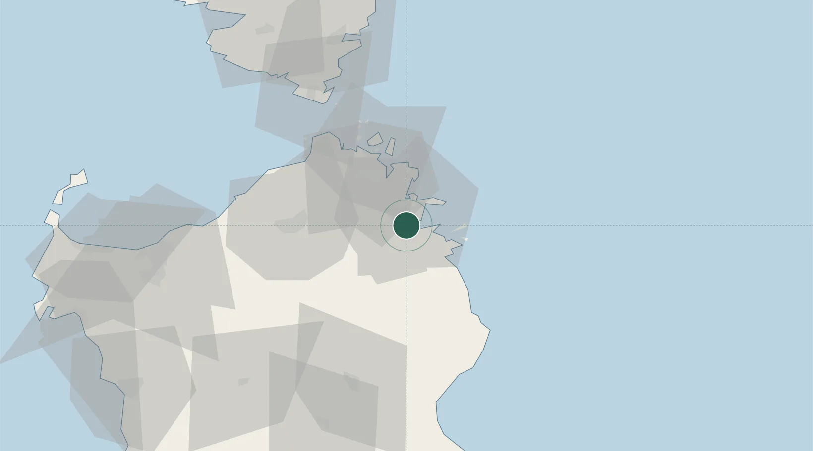
Nearby Logistics Neighbours

Cities
  1. 1Golfo Aranci13 km
  2. 2La Maddalena35 km
  3. 3Tempio Pausania35 km
  4. 4Santa Teresa di Gallura45 km
  5. 5Capo Pertusato57 km
Nearest neighbours — logibook spatial index (haversine) over the source coordinates
Ports
  1. 1Golfo Aranci12 km
  2. 2Porto Cervo25 km
  3. 3Maddalena34 km
  4. 4Bonifacio60 km
  5. 5Porto Vecchio77 km
Nearest neighbours — logibook spatial index (haversine) over the source coordinates
Airports
  1. 1Olbia Costa Smeralda Airport2 km
  2. 2Figari Sud-Corse Airport74 km
  3. 3Alghero-Fertilia Airport108 km
  4. 4Tortolì Airport112 km
  5. 5Solenzara (BA 126) Air Base112 km
Nearest neighbours — logibook spatial index (haversine) over the source coordinates
Trade Zones
  1. 1Sardinia Special Economic Zone Area57 km
  2. 2Free Zone of Portovesme214 km
  3. 3Campania Special Economic Zone (Naples and Salerno)349 km
  4. 4Abruzzo Special Economic Zone353 km
  5. 5ZFU LAriane364 km
Nearest neighbours — logibook spatial index (haversine) over the source coordinates
DatabookThe Record of Consolidated Knowledge
Italy beyond logistics?
Browse databook

All Sources

LocationsUN/LOCODE
UN/LOCODE — free
LocationsGeoNames
CC BY 4.0
Portsthe NGA World Port Index
Public domain (US gov)
AirportsOurAirports
Public domain
Trade Zonesthe World Bank SEZ database
CC BY 4.0
Trade ZonesOpen Zone Map
CC BY
← Italy locations