Transport Functions
Port
Road
Hub Profile
Place type
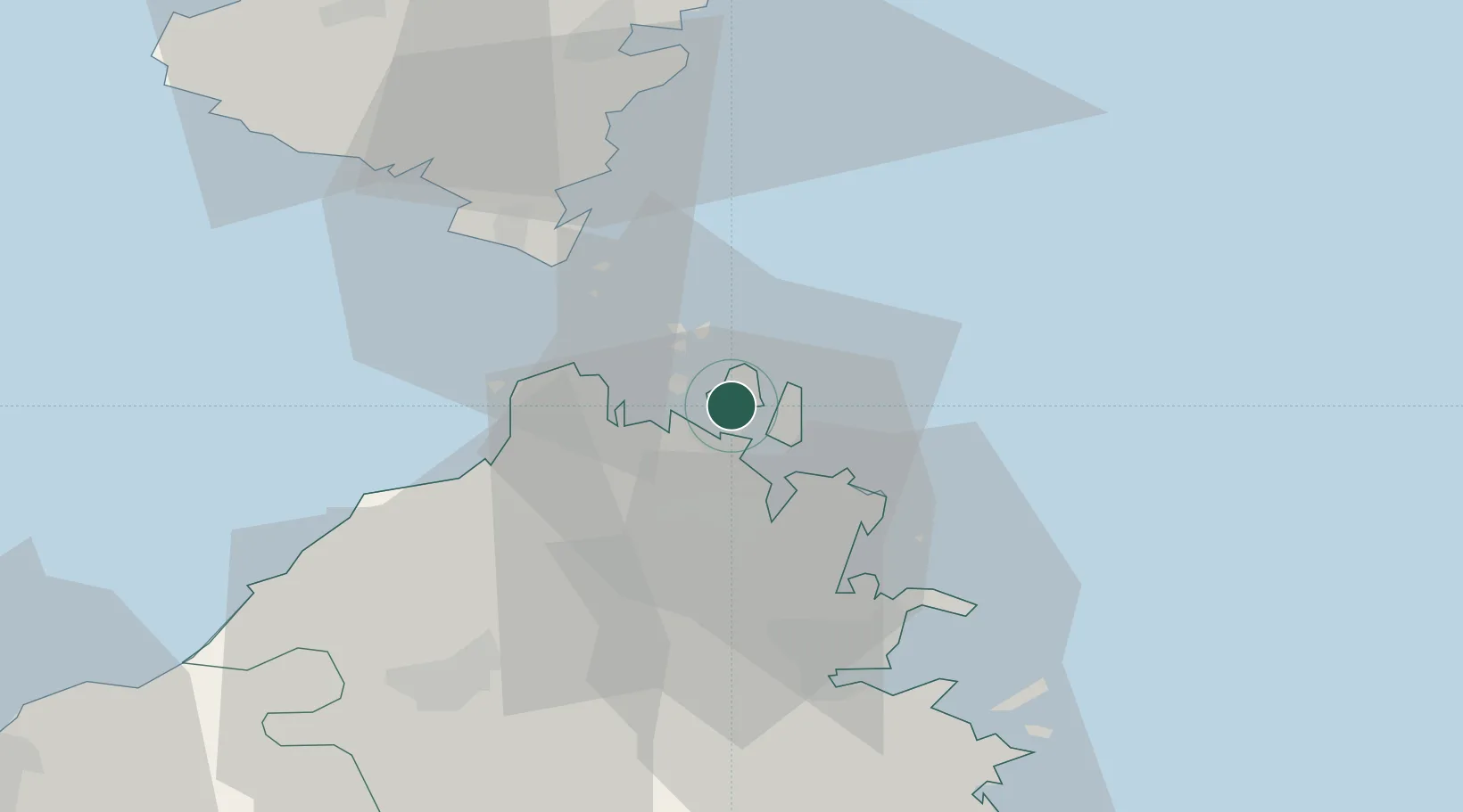
District seat
Region
Sardinia
Population
10,297
Time zone
Europe/Rome
Elevation
19 m
Logistics facilities
1
Location
Nearby Logistics Neighbours
Cities
- 1Santa Teresa di Gallura18 km
- 2Capo Pertusato25 km
- 3Bonifacio27 km
- 4Golfo Aranci30 km
- 5Olbia35 km
Ports
- 1Porto Cervo15 km
- 2Bonifacio27 km
- 3Golfo Aranci31 km
- 4Olbia34 km
- 5Porto Vecchio42 km
Airports
Trade Zones
- 1Sardinia Special Economic Zone Area78 km
- 2Free Zone of Portovesme241 km
- 3ZFU LAriane330 km
- 4Abruzzo Special Economic Zone348 km
- 5ZFU Toulon355 km
DatabookThe Record of Consolidated Knowledge
Italy beyond logistics?