Transport Functions
Port
Road
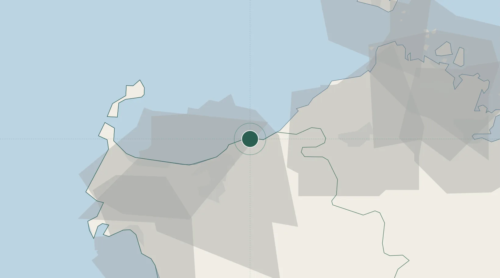
Hub Profile
Place type
District seat
Region
Sardinia
Population
5,994
Time zone
Europe/Rome
Elevation
114 m
Location
Nearby Logistics Neighbours
Cities
- 1Valledoria9 km
- 2Sassari26 km
- 3Tempio Pausania32 km
- 4Isola Asinara41 km
- 5Stintino42 km
Ports
- 1Porto Torres28 km
- 2Alghero52 km
- 3Bonifacio64 km
- 4Maddalena66 km
- 5Olbia68 km
Airports
Trade Zones
- 1Sardinia Special Economic Zone Area43 km
- 2Free Zone of Portovesme194 km
- 3ZFU Toulon336 km
- 4ZFU LAriane336 km
- 5ZFU La Seyne-sur-Mer338 km
DatabookThe Record of Consolidated Knowledge
Italy beyond logistics?