UN/LOCODE hub · Italy
ITSTE

Santa Teresa di Gallura

41.2333°, 9.1833°
1
Transport functions

Transport Functions

Port
UN/LOCODE

Hub Profile

Region
SS
GeoNames

Location

Location of ITSTE
Natural Earth 10m (public domain) · SS · ITSTE · 41.23, 9.18GoogleOSMYandex

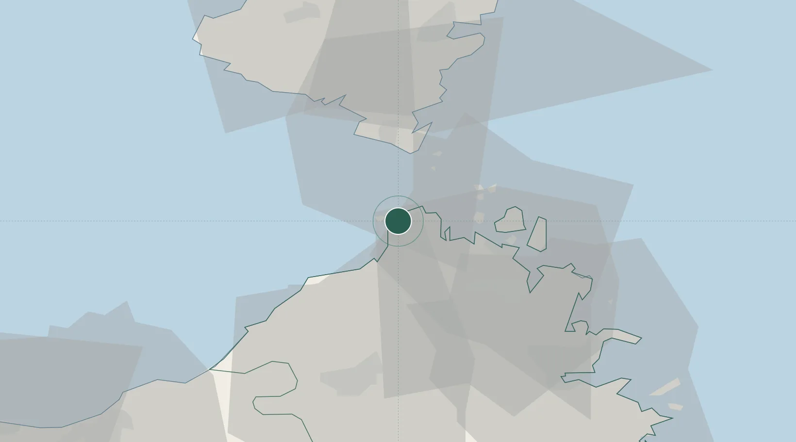
Nearby Logistics Neighbours

Cities
  1. 1Capo Pertusato15 km
  2. 2Bonifacio17 km
  3. 3La Maddalena18 km
  4. 4Tempio Pausania38 km
  5. 5Porto-Vecchio40 km
Nearest neighbours — logibook spatial index (haversine) over the source coordinates
Ports
  1. 1Bonifacio17 km
  2. 2Maddalena19 km
  3. 3Porto Cervo32 km
  4. 4Porto Vecchio40 km
  5. 5Olbia45 km
Nearest neighbours — logibook spatial index (haversine) over the source coordinates
Airports
  1. 1Figari Sud-Corse Airport31 km
  2. 2Olbia Costa Smeralda Airport47 km
  3. 3Solenzara (BA 126) Air Base79 km
  4. 4Ajaccio Napoléon Bonaparte airport83 km
  5. 5Alghero-Fertilia Airport101 km
Nearest neighbours — logibook spatial index (haversine) over the source coordinates
Trade Zones
  1. 1Sardinia Special Economic Zone Area73 km
  2. 2Free Zone of Portovesme237 km
  3. 3ZFU LAriane320 km
  4. 4ZFU Toulon340 km
  5. 5ZFU La Seyne-sur-Mer344 km
Nearest neighbours — logibook spatial index (haversine) over the source coordinates
DatabookThe Record of Consolidated Knowledge
Italy beyond logistics?
Browse databook

All Sources

LocationsUN/LOCODE
UN/LOCODE — free
Portsthe NGA World Port Index
Public domain (US gov)
AirportsOurAirports
Public domain
Trade Zonesthe World Bank SEZ database
CC BY 4.0
Trade ZonesOpen Zone Map
CC BY
← Italy locations