Transport Functions
Rail
Road
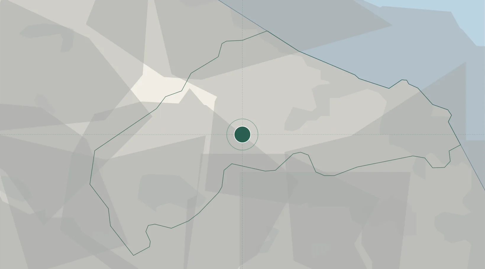
Hub Profile
Place type
Populated place
Region
The Marches
Population
4,985
Time zone
Europe/Rome
Elevation
114 m
Location
Nearby Logistics Neighbours
Cities
- 1Maiolati Spontini4 km
- 2Castelplanio4 km
- 3Serra San Quirico10 km
- 4Ostra13 km
- 5Genga17 km
Ports
- 1Senigallia26 km
- 2Ancona34 km
- 3Fano41 km
- 4Pesaro51 km
- 5Civitanova Marche54 km
Airports
Trade Zones
- 1Abruzzo Special Economic Zone136 km
- 2Port of Pula Free Zone162 km
- 3Port of Rijeka Free Zone209 km
- 4Ionian Special Economic Zone211 km
- 5Free Port of Venice224 km
DatabookThe Record of Consolidated Knowledge
Italy beyond logistics?