Transport Functions
Road
Multimodal
Hub Profile
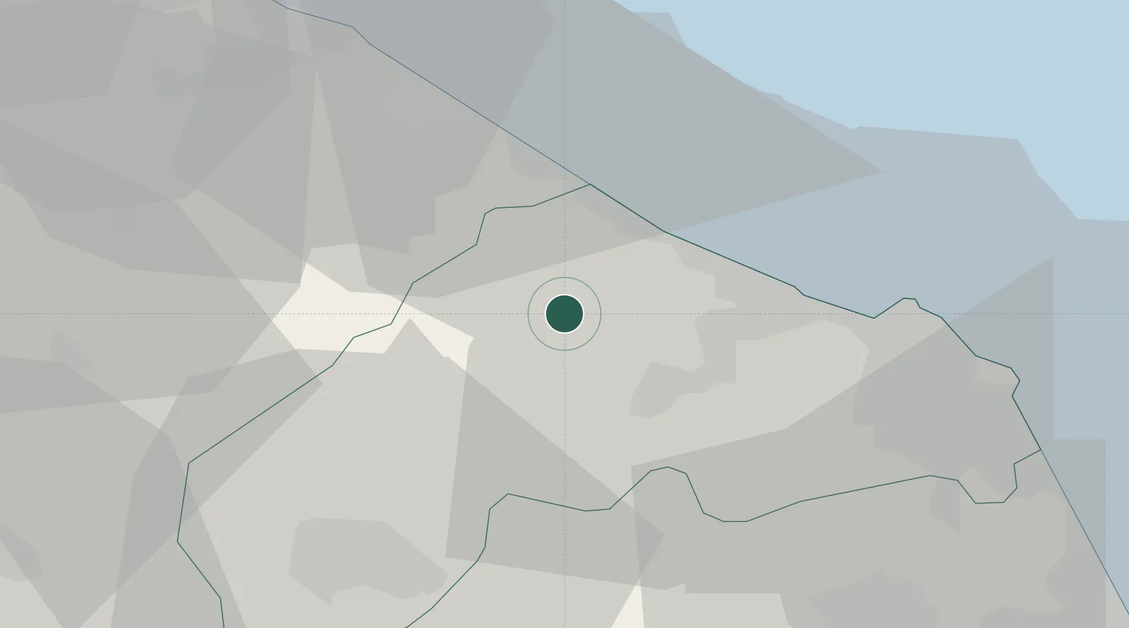
Place type
District seat
Region
The Marches
Population
2,947
Time zone
Europe/Rome
Elevation
118 m
Location
Nearby Logistics Neighbours
Cities
- 1Corinaldo9 km
- 2Senigallia12 km
- 3Moie13 km
- 4Castelferretti16 km
- 5Castelplanio16 km
Ports
- 1Senigallia13 km
- 2Ancona28 km
- 3Fano29 km
- 4Pesaro40 km
- 5Civitanova Marche58 km
Airports
Trade Zones
- 1Abruzzo Special Economic Zone149 km
- 2Port of Pula Free Zone149 km
- 3Port of Rijeka Free Zone196 km
- 4Free Port of Venice213 km
- 5Free Zone Kukuljanovo220 km
DatabookThe Record of Consolidated Knowledge
Italy beyond logistics?