Transport Functions
Rail
Road
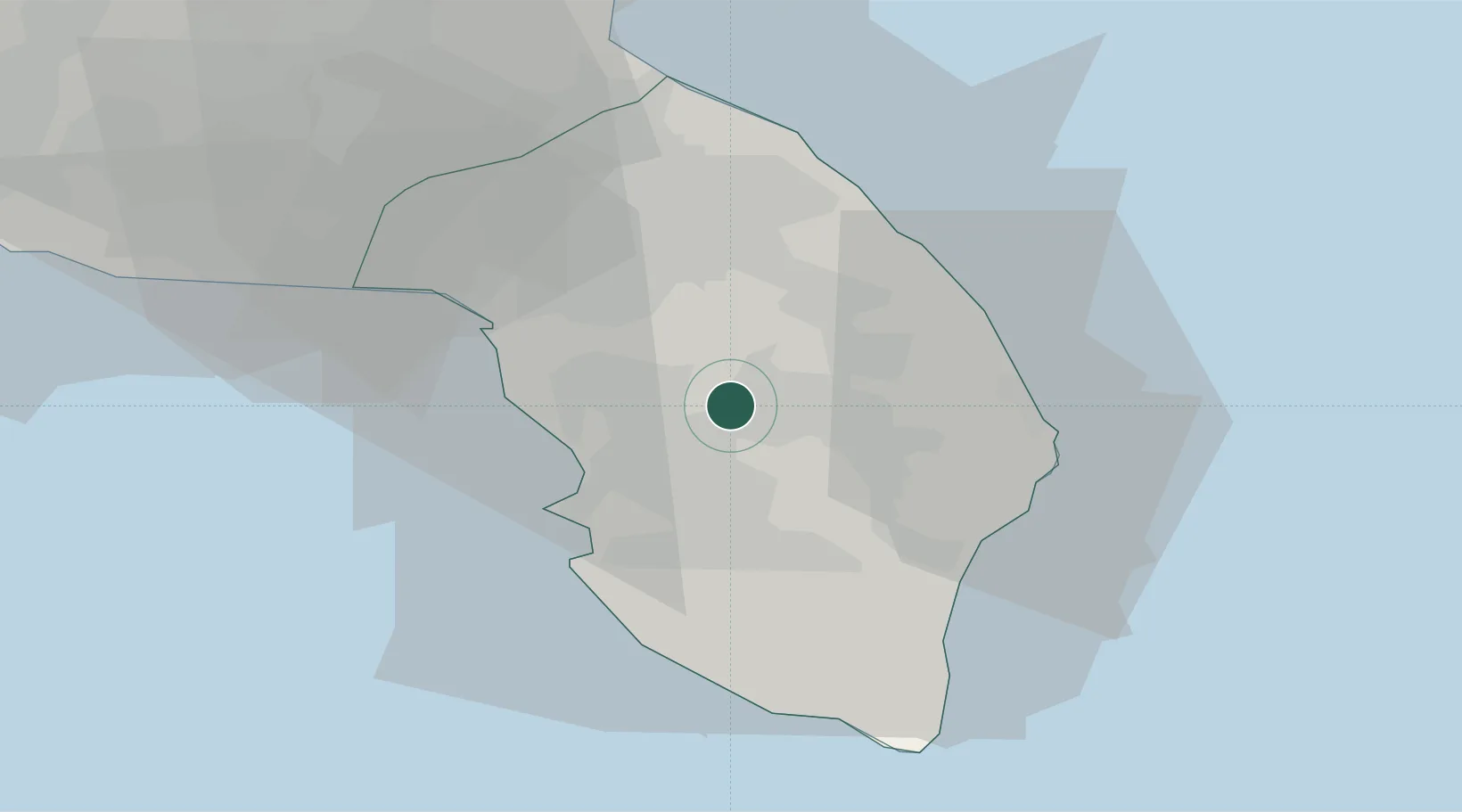
Hub Profile
Place type
District seat
Region
Apulia
Population
19,569
Time zone
Europe/Rome
Elevation
75 m
Location
Nearby Logistics Neighbours
Cities
- 1Aradeo5 km
- 2Corigliano d'Otranto7 km
- 3Martano12 km
- 4Nardò13 km
- 5Santa Foca di Melendugno18 km
Airports
Trade Zones
DatabookThe Record of Consolidated Knowledge
Italy beyond logistics?