Transport Functions
Multimodal
Hub Profile
Place type
District seat
Region
The Marches
Population
1,846
Time zone
Europe/Rome
Elevation
341 m
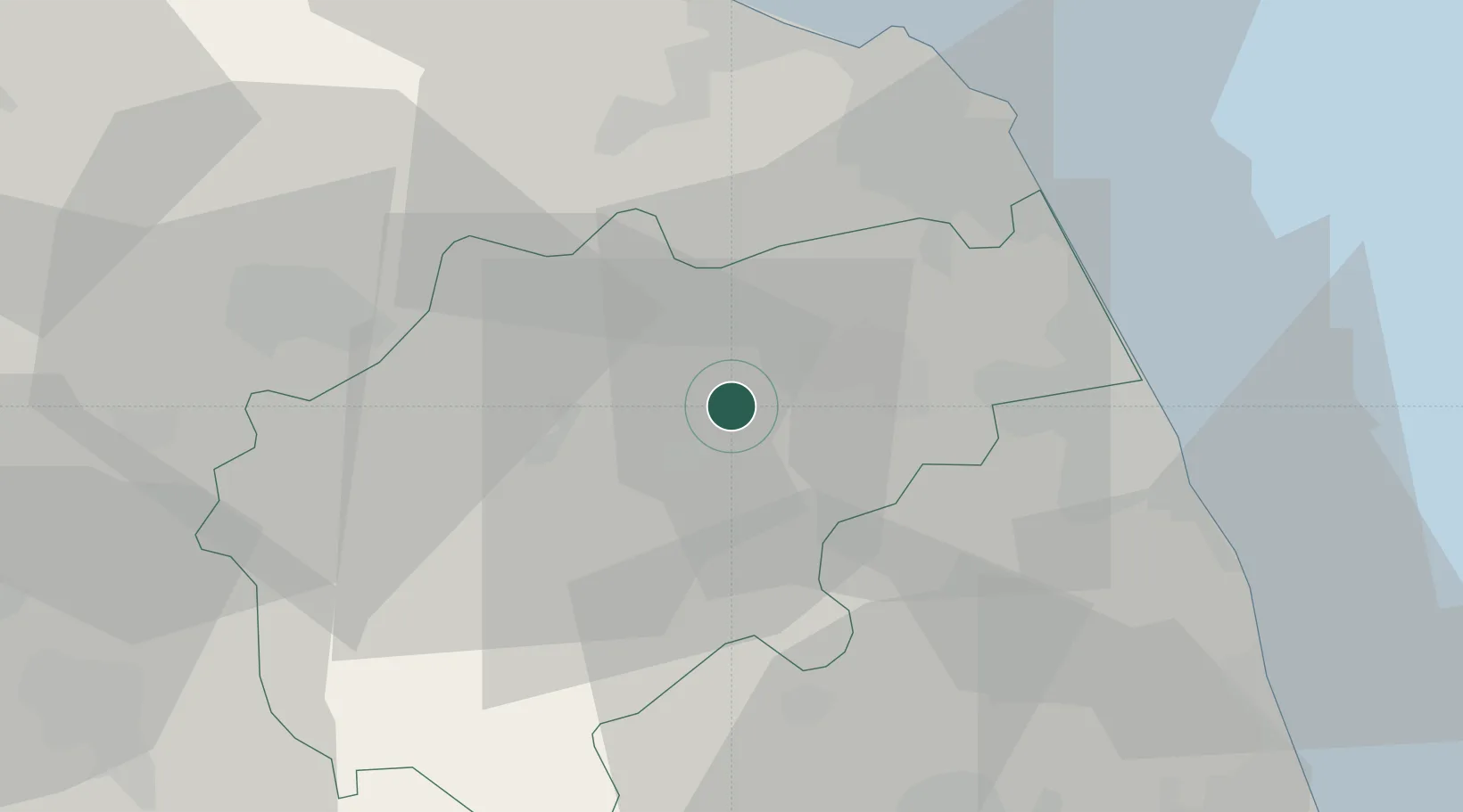
Location
Nearby Logistics Neighbours
Cities
- 1San Severino Marche16 km
- 2Filottrano19 km
- 3Montegranaro23 km
- 4Sarnano26 km
- 5Monte Urano27 km
Ports
- 1Civitanova Marche32 km
- 2Ancona42 km
- 3Senigallia52 km
- 4San Benedetto Del Tronto56 km
- 5Fano71 km
Airports
Trade Zones
- 1Abruzzo Special Economic Zone109 km
- 2Ionian Special Economic Zone180 km
- 3Port of Pula Free Zone182 km
- 4Port of Rijeka Free Zone226 km
- 5Free Zone Kukuljanovo248 km
DatabookThe Record of Consolidated Knowledge
Italy beyond logistics?