Transport Functions
Multimodal
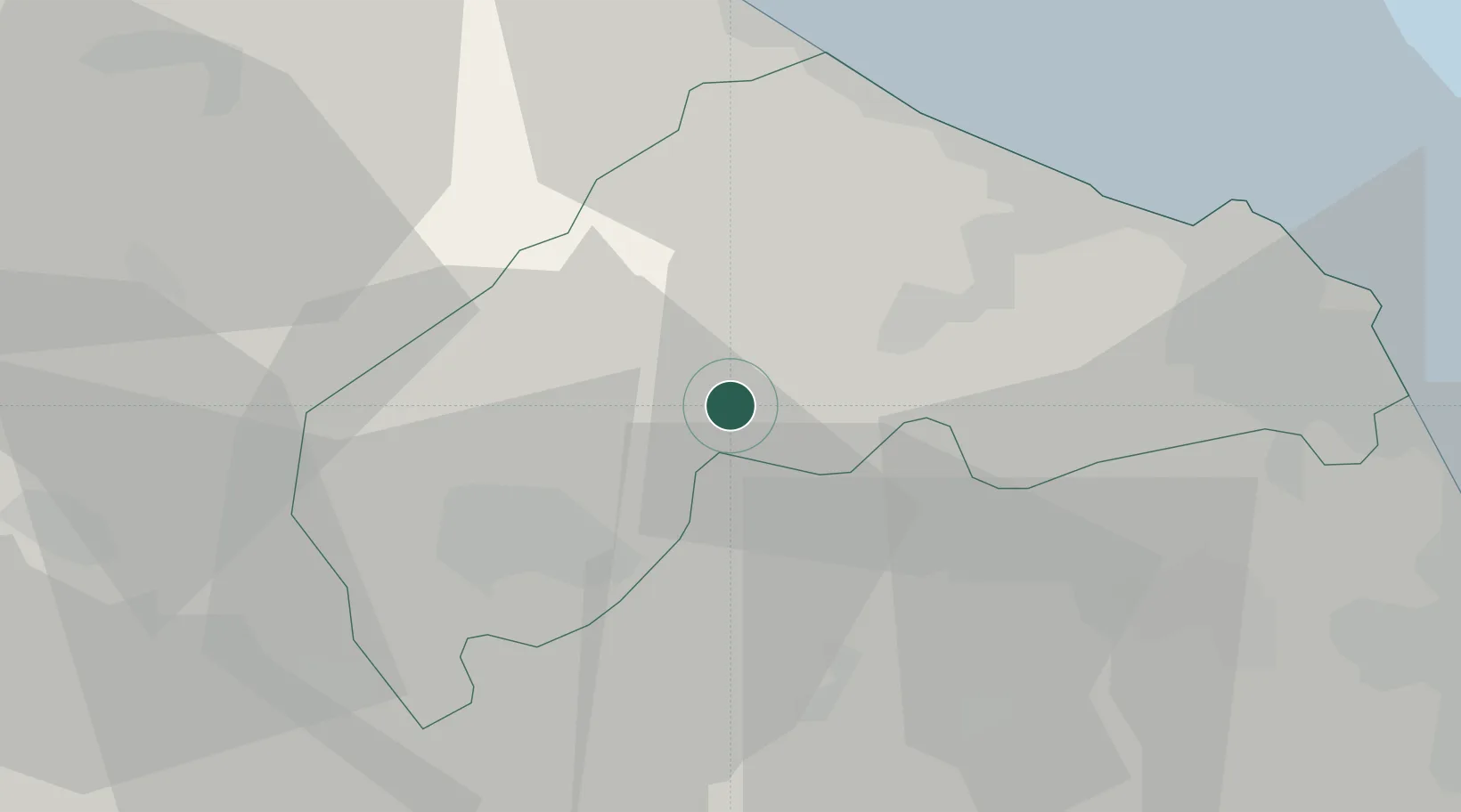
Hub Profile
Place type
District seat
Region
The Marches
Population
466
Time zone
Europe/Rome
Elevation
405 m
Location
Nearby Logistics Neighbours
Cities
- 1Castelplanio3 km
- 2Moie4 km
- 3Serra San Quirico7 km
- 4Genga14 km
- 5Ostra17 km
Ports
- 1Senigallia30 km
- 2Ancona37 km
- 3Fano44 km
- 4Pesaro54 km
- 5Civitanova Marche54 km
Airports
Trade Zones
- 1Abruzzo Special Economic Zone133 km
- 2Port of Pula Free Zone166 km
- 3Ionian Special Economic Zone208 km
- 4Port of Rijeka Free Zone213 km
- 5Free Port of Venice227 km
DatabookThe Record of Consolidated Knowledge
Italy beyond logistics?