Transport Functions
Multimodal
Hub Profile
Place type
Populated place
Region
Lazio
Population
12
Time zone
Europe/Rome
Elevation
623 m
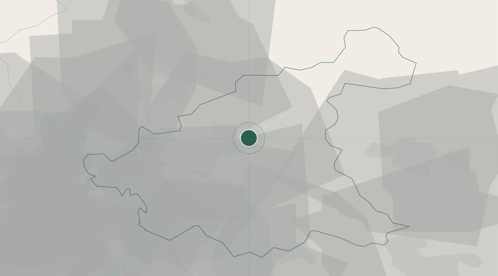
Location
Nearby Logistics Neighbours
Cities
- 1Vazia2 km
- 2Santa Rufina2 km
- 3Arrone21 km
- 4Scoppito28 km
- 5Calvi dell'Umbria29 km
Ports
- 1Fiumicino94 km
- 2Giulianova94 km
- 3San Benedetto Del Tronto99 km
- 4Civitavecchia101 km
- 5Pescara108 km
Airports
Trade Zones
DatabookThe Record of Consolidated Knowledge
Italy beyond logistics?