UN/LOCODE hub · Italy
ITTSE

Tricase

39.9333°, 18.3667°
13,702
Population
2
Transport functions

Transport Functions

Rail
Road
UN/LOCODE

Hub Profile

Place type
District seat
GeoNames
Region
Apulia
GeoNames
Population
13,702
GeoNames
Time zone
Europe/Rome
GeoNames
Elevation
98 m
GeoNames

Location

Location of ITTSE
Natural Earth 10m (public domain) · Apulia · ITTSE · 39.93, 18.37GoogleOSMYandex

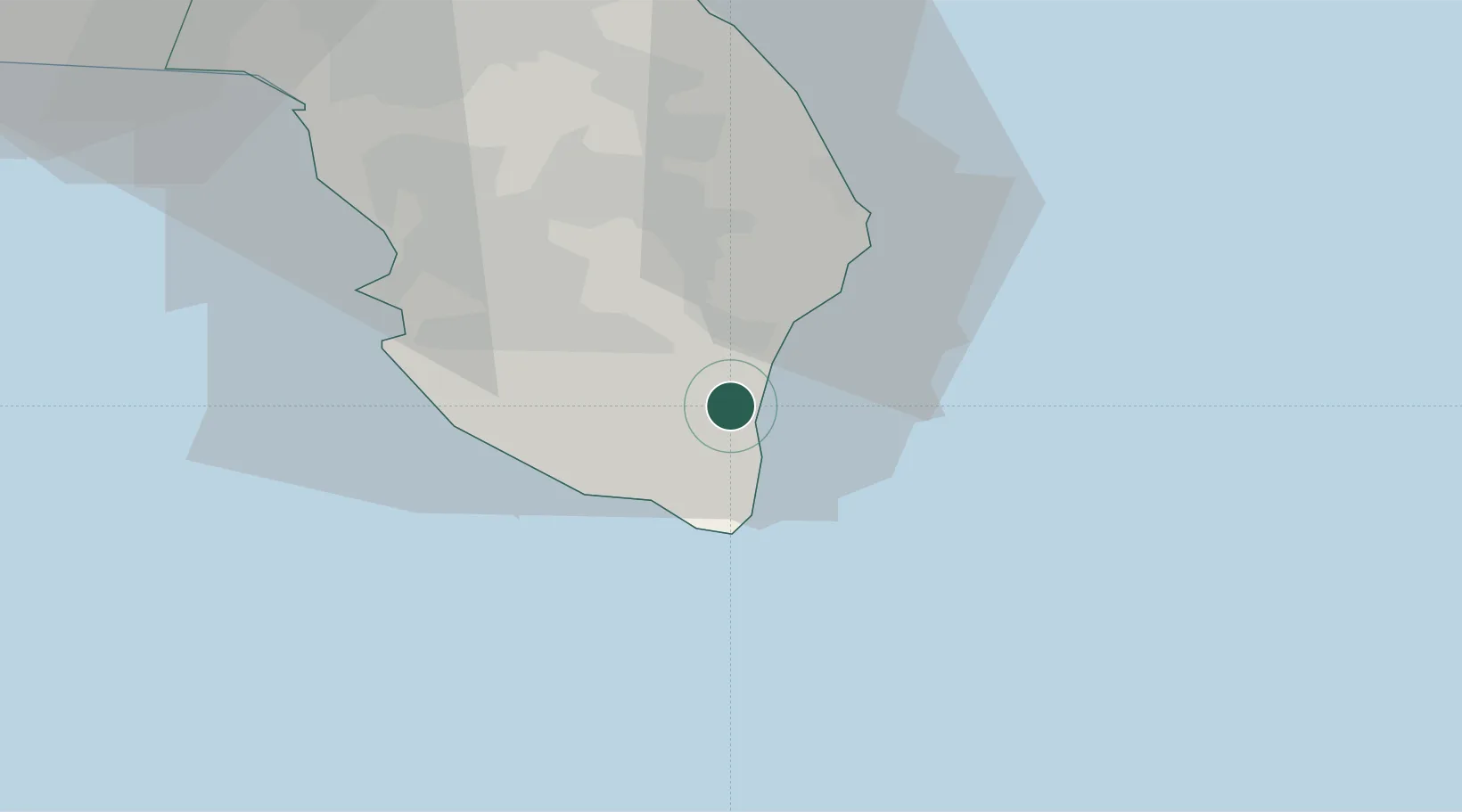
Nearby Logistics Neighbours

Cities
  1. 1Castro Marina6 km
  2. 2Gagliano del Capo11 km
  3. 3Torre Cesarea13 km
  4. 4Leuca15 km
  5. 5Ugento17 km
Nearest neighbours — logibook spatial index (haversine) over the source coordinates
Ports
  1. 1Otranto27 km
  2. 2Gallipoli36 km
  3. 3Brindisi86 km
  4. 4Vlore113 km
  5. 5Taranto116 km
Nearest neighbours — logibook spatial index (haversine) over the source coordinates
Trade Zones
  1. 1Vlora Technical and Economic Development Area111 km
  2. 2Fier Freezone134 km
  3. 3Gjirokastër Freezone154 km
  4. 4Përmet Freezone173 km
  5. 5Spitalle Spitalla Technical and Economic Development Area181 km
Nearest neighbours — logibook spatial index (haversine) over the source coordinates
DatabookThe Record of Consolidated Knowledge
Italy beyond logistics?
Browse databook

All Sources

LocationsUN/LOCODE
UN/LOCODE — free
LocationsGeoNames
CC BY 4.0
Portsthe NGA World Port Index
Public domain (US gov)
AirportsOurAirports
Public domain
Trade Zonesthe World Bank SEZ database
CC BY 4.0
Trade ZonesOpen Zone Map
CC BY
← Italy locations