UN/LOCODE hub · Italy
ITGDX
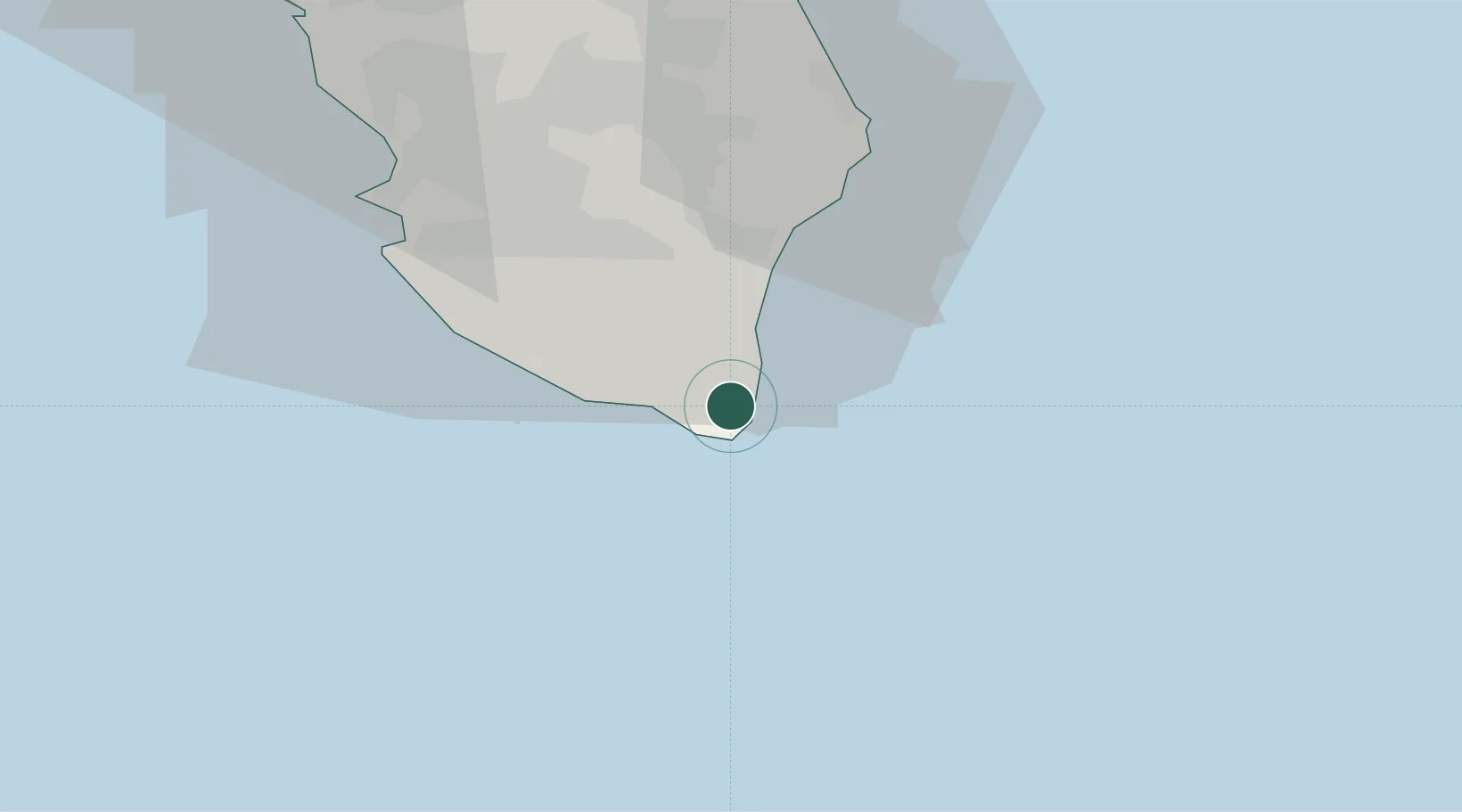
Gagliano del Capo
39.8333°, 18.3667°
5,042
Population
2
Transport functions
Transport Functions
Rail
Road
Hub Profile
Place type
District seat
Region
Apulia
Population
5,042
Time zone
Europe/Rome
Elevation
144 m
Location
Nearby Logistics Neighbours
Cities
- 1Leuca4 km
- 2Tricase11 km
- 3Castro Marina17 km
- 4Ugento20 km
- 5Torre San Giovanni d'Ugento21 km
Ports
- 1Otranto37 km
- 2Gallipoli41 km
- 3Brindisi97 km
- 4Ciro Marina117 km
- 5Vlore119 km
Airports
Trade Zones
DatabookThe Record of Consolidated Knowledge
Italy beyond logistics?