Transport Functions
Port
Rail
Road
Hub Profile
Place type
District seat
Region
The Marches
Population
1,818
Time zone
Europe/Rome
Elevation
4 m
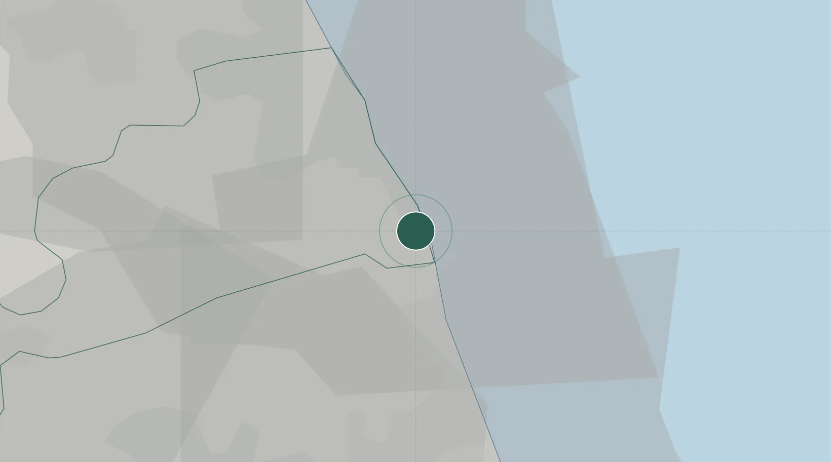
Location
Nearby Logistics Neighbours
Cities
- 1Cupra Marittima9 km
- 2Porto San Giorgio10 km
- 3Carassai16 km
- 4San Benedetto del Tronto17 km
- 5Monte Urano18 km
Ports
- 1San Benedetto Del Tronto16 km
- 2Civitanova Marche25 km
- 3Giulianova40 km
- 4Ancona65 km
- 5Pescara78 km
Airports
Trade Zones
- 1Abruzzo Special Economic Zone99 km
- 2Ionian Special Economic Zone154 km
- 3Port of Pula Free Zone196 km
- 4Port of Split Free Zone215 km
- 5Split-Dalmatia Free Zone218 km
DatabookThe Record of Consolidated Knowledge
Italy beyond logistics?