UN/LOCODE hub · Italy
ITSDB
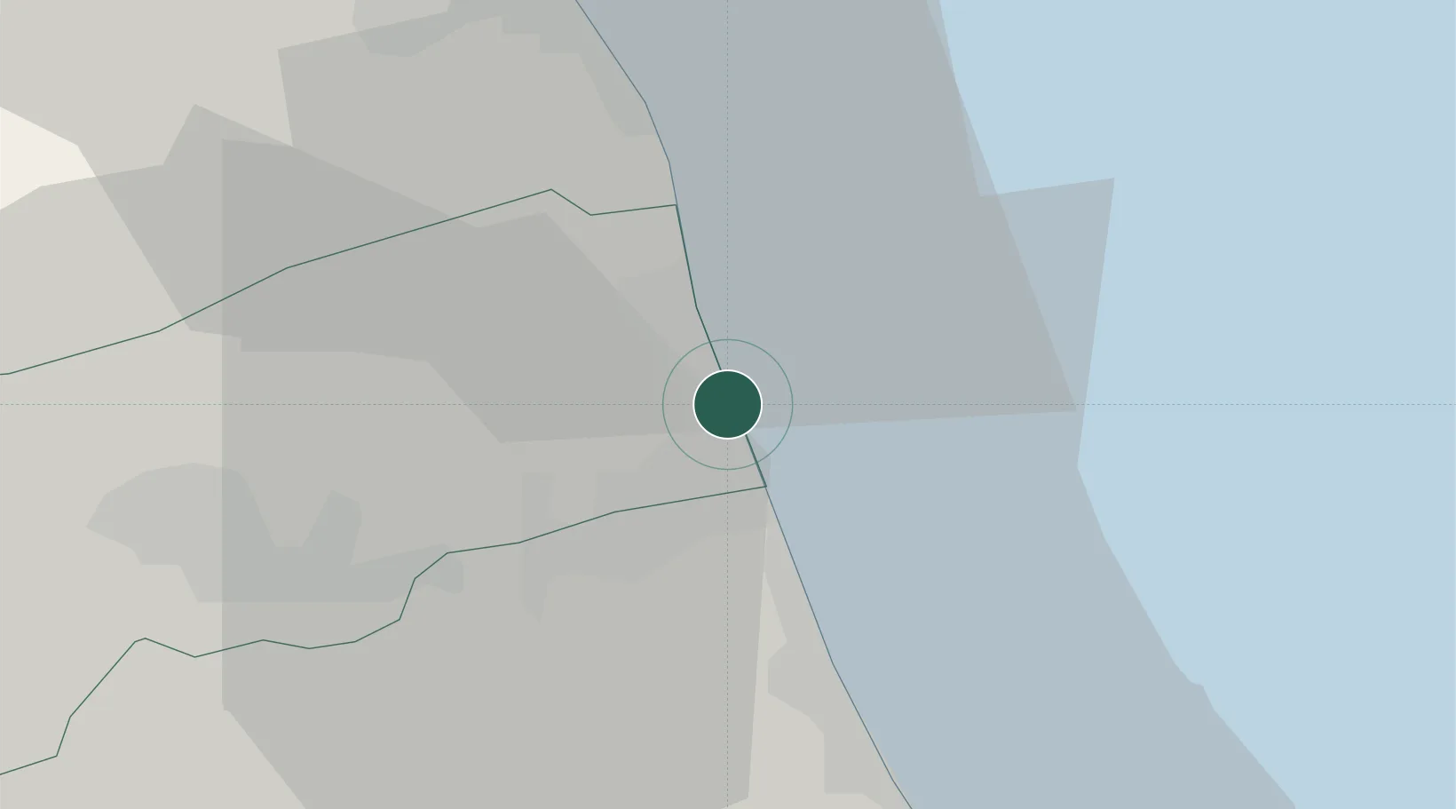
San Benedetto del Tronto
42.9500°, 13.8833°
45,873
Population
2
Transport functions
Transport Functions
Port
Road
Hub Profile
Place type
District seat
Region
The Marches
Population
45,873
Time zone
Europe/Rome
Elevation
4 m
Location
Nearby Logistics Neighbours
Cities
- 1Cupra Marittima8 km
- 2Monsampolo del Tronto10 km
- 3Colli del Tronto15 km
- 4Pedaso17 km
- 5Carassai19 km
Ports
- 1Giulianova23 km
- 2Civitanova Marche43 km
- 3Pescara61 km
- 4Ortona80 km
- 5Ancona82 km
Airports
Trade Zones
- 1Abruzzo Special Economic Zone86 km
- 2Ionian Special Economic Zone137 km
- 3Port of Pula Free Zone213 km
- 4Port of Split Free Zone215 km
- 5Split-Dalmatia Free Zone218 km
DatabookThe Record of Consolidated Knowledge
Italy beyond logistics?