UN/LOCODE hub · Italy
ITSIG
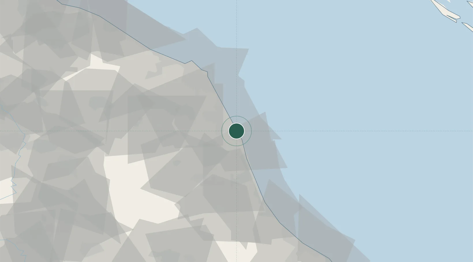
Porto San Giorgio
43.1833°, 13.8000°
15,558
Population
3
Transport functions
Transport Functions
Port
Rail
Road
Hub Profile
Place type
District seat
Region
The Marches
Population
15,558
Time zone
Europe/Rome
Elevation
4 m
Location
Nearby Logistics Neighbours
Cities
- 1Porto Sant'Elpidio8 km
- 2Pedaso10 km
- 3Monte Urano11 km
- 4Civitanova Marche14 km
- 5Montegranaro15 km
Ports
- 1Civitanova Marche16 km
- 2San Benedetto Del Tronto26 km
- 3Giulianova50 km
- 4Ancona55 km
- 5Senigallia76 km
Airports
Trade Zones
- 1Abruzzo Special Economic Zone106 km
- 2Ionian Special Economic Zone164 km
- 3Port of Pula Free Zone187 km
- 4Port of Split Free Zone215 km
- 5Split-Dalmatia Free Zone218 km
DatabookThe Record of Consolidated Knowledge
Italy beyond logistics?