Transport Functions
Multimodal
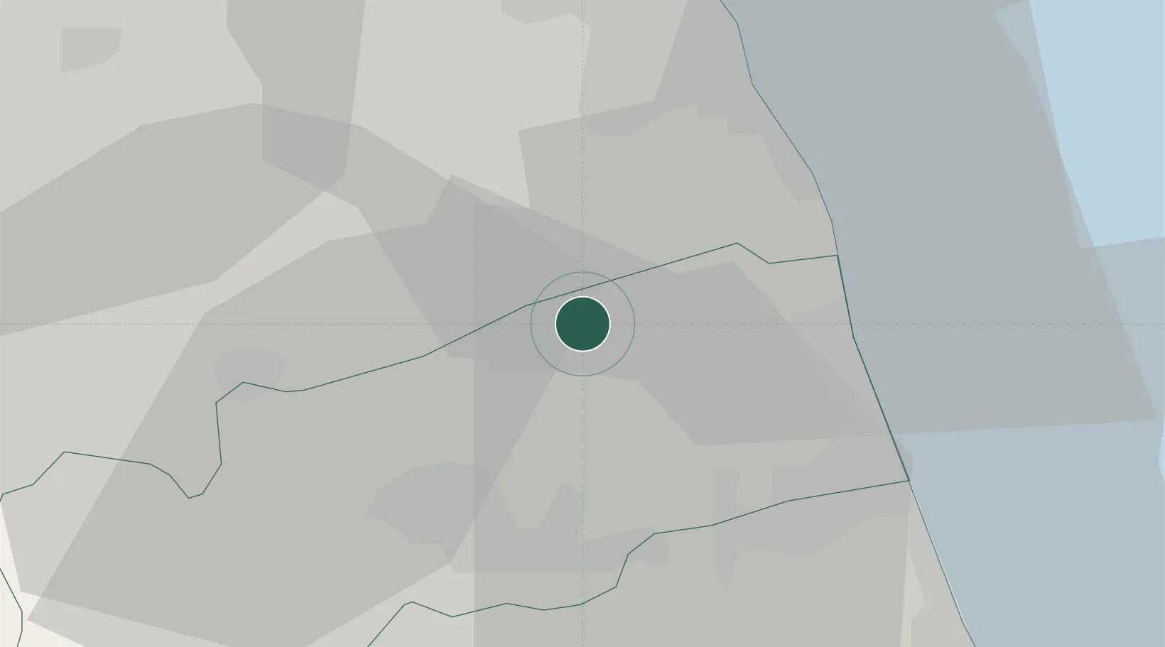
Hub Profile
Place type
District seat
Region
The Marches
Population
587
Time zone
Europe/Rome
Elevation
365 m
Location
Nearby Logistics Neighbours
Cities
- 1Castignano10 km
- 2Cupra Marittima15 km
- 3Monsampolo del Tronto16 km
- 4Pedaso16 km
- 5Colli del Tronto18 km
Ports
- 1San Benedetto Del Tronto19 km
- 2Civitanova Marche34 km
- 3Giulianova39 km
- 4Ancona70 km
- 5Pescara77 km
Airports
Trade Zones
- 1Abruzzo Special Economic Zone85 km
- 2Ionian Special Economic Zone147 km
- 3Port of Pula Free Zone206 km
- 4Port of Split Free Zone230 km
- 5Split-Dalmatia Free Zone233 km
DatabookThe Record of Consolidated Knowledge
Italy beyond logistics?