Transport Functions
Port
Rail
Road
Hub Profile
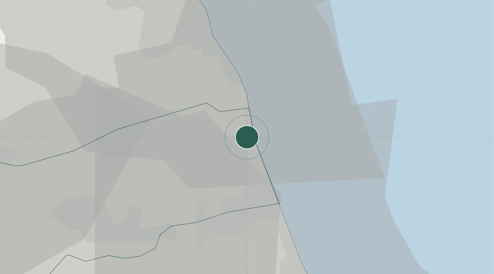
Place type
District seat
Region
The Marches
Population
4,107
Time zone
Europe/Rome
Elevation
4 m
Location
Nearby Logistics Neighbours
Cities
- 1San Benedetto del Tronto8 km
- 2Pedaso9 km
- 3Monsampolo del Tronto14 km
- 4Carassai15 km
- 5Porto San Giorgio19 km
Ports
- 1San Benedetto Del Tronto7 km
- 2Giulianova31 km
- 3Civitanova Marche35 km
- 4Pescara69 km
- 5Ancona74 km
Airports
Trade Zones
- 1Abruzzo Special Economic Zone91 km
- 2Ionian Special Economic Zone145 km
- 3Port of Pula Free Zone205 km
- 4Port of Split Free Zone216 km
- 5Split-Dalmatia Free Zone219 km
DatabookThe Record of Consolidated Knowledge
Italy beyond logistics?