Transport Functions
Rail
Road
Hub Profile
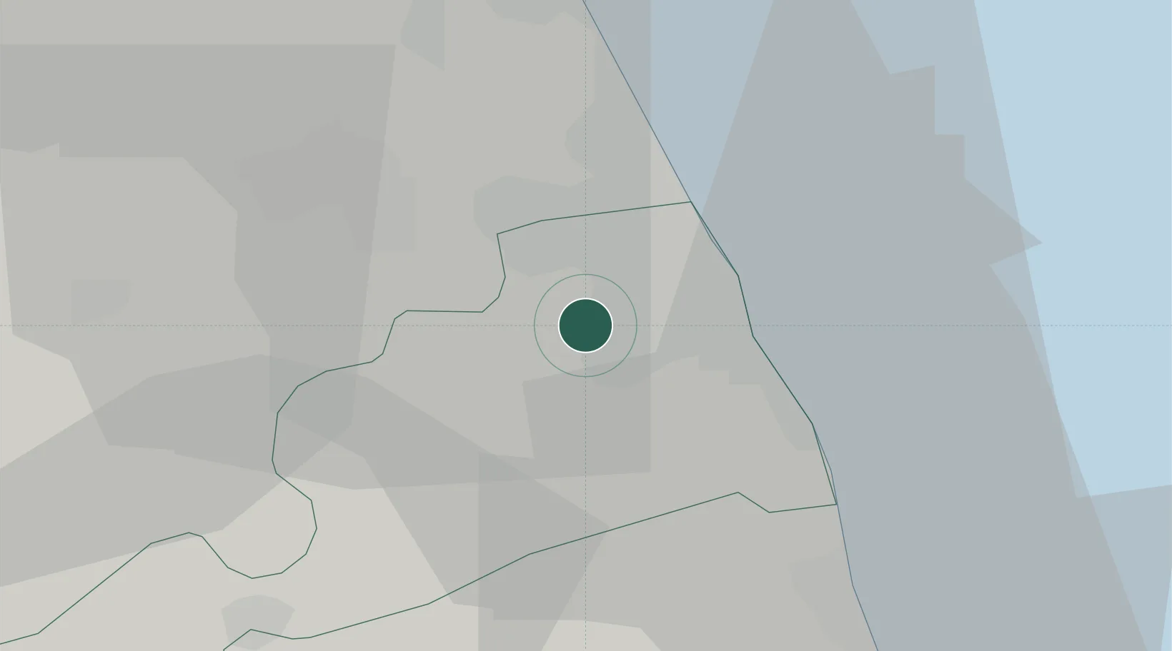
Place type
District seat
Region
The Marches
Population
6,527
Time zone
Europe/Rome
Elevation
247 m
Location
Nearby Logistics Neighbours
Cities
- 1Montegranaro5 km
- 2Porto Sant'Elpidio9 km
- 3Porto San Giorgio11 km
- 4Civitanova Marche12 km
- 5Pedaso18 km
Ports
- 1Civitanova Marche14 km
- 2San Benedetto Del Tronto32 km
- 3Ancona50 km
- 4Giulianova56 km
- 5Senigallia69 km
Airports
Trade Zones
- 1Abruzzo Special Economic Zone105 km
- 2Ionian Special Economic Zone167 km
- 3Port of Pula Free Zone185 km
- 4Port of Split Free Zone226 km
- 5Port of Rijeka Free Zone227 km
DatabookThe Record of Consolidated Knowledge
Italy beyond logistics?