Transport Functions
Multimodal
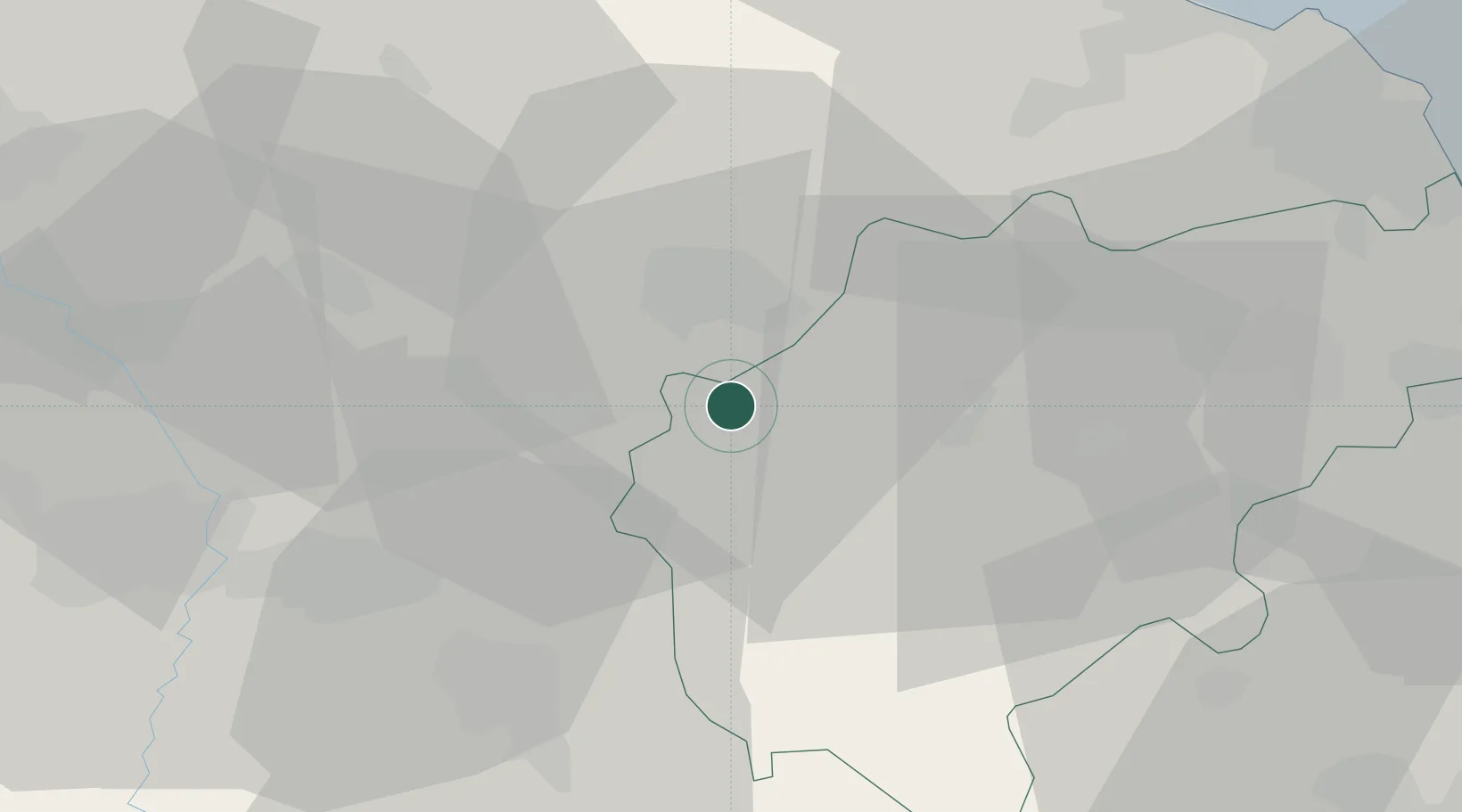
Hub Profile
Place type
District seat
Region
The Marches
Population
1,720
Time zone
Europe/Rome
Elevation
446 m
Location
Nearby Logistics Neighbours
Cities
- 1Matelica4 km
- 2Cerreto d'Esi8 km
- 3Gaifana16 km
- 4San Severino Marche18 km
- 5Nocera Umbra20 km
Ports
- 1Senigallia57 km
- 2Ancona61 km
- 3Civitanova Marche64 km
- 4Fano68 km
- 5Pesaro76 km
Airports
Trade Zones
- 1Abruzzo Special Economic Zone112 km
- 2Ionian Special Economic Zone191 km
- 3Port of Pula Free Zone193 km
- 4Port of Rijeka Free Zone240 km
- 5Free Port of Venice248 km
DatabookThe Record of Consolidated Knowledge
Italy beyond logistics?