Transport Functions
Rail
Road
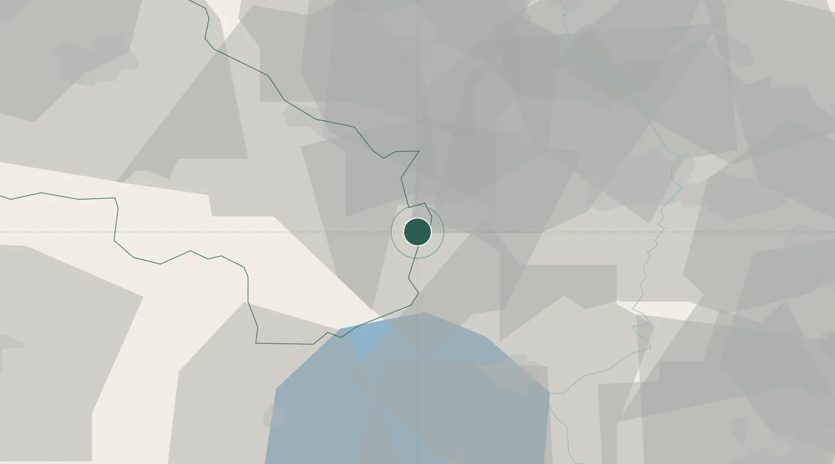
Hub Profile
Place type
District seat
Region
Tuscany
Population
2,294
Time zone
Europe/Rome
Elevation
398 m
Location
Nearby Logistics Neighbours
Cities
- 1Pozzuolo11 km
- 2San Casciano dei Bagni18 km
- 3Radicofani20 km
- 4Montefollonico21 km
- 5Torrita di Siena22 km
Ports
- 1Porto Ercole91 km
- 2Porto Santo Stefano93 km
- 3Civitavecchia103 km
- 4Giglio Porto111 km
- 5Portovecchio Di Piombino114 km
Airports
Trade Zones
DatabookThe Record of Consolidated Knowledge
Italy beyond logistics?