Transport Functions
Rail
Road
Hub Profile
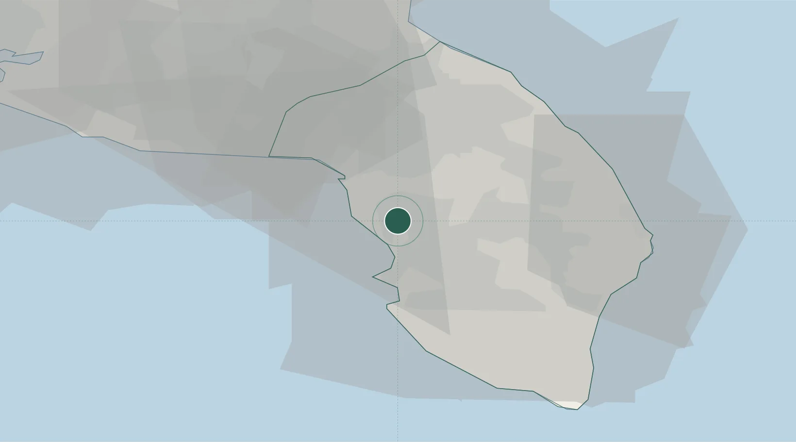
Place type
District seat
Region
Apulia
Population
29,668
Time zone
Europe/Rome
Elevation
45 m
Location
Nearby Logistics Neighbours
Cities
- 1Aradeo11 km
- 2Galatina13 km
- 3Leverano13 km
- 4Gallipoli13 km
- 5Corigliano d'Otranto20 km
Airports
DatabookThe Record of Consolidated Knowledge
Italy beyond logistics?