Channel & Berth Profile
Pilotage, Tugs & Services
Pilotage compulsoryYES
Pilotage availableYES
Tug assistanceNO
Shore powerYES
Potable waterYES
Diesel bunkersYES
MedicalYES
Facilities & Capabilities
Container—
Ro-Ro—
Liquid bulk—
Dry bulk—
Oil terminal—
Break bulk—
Dry dock—
RepairsNO
BunkeringYES
Rail linkYES
Dangerous cargo—
ISPS security—
Harbour Specifications
Harbour size
Small
Harbour type
Coastal (Breakwater)
Shelter
Good
Water body
Adriatic Sea; Mediterranean Sea; North Atlantic Ocean
Pilotage
Yes
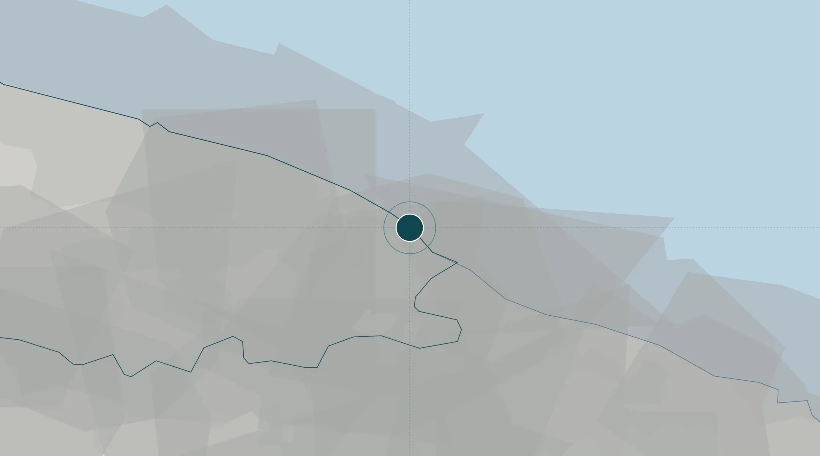
Location
Nearby Logistics Neighbours
Ports
- 1Mola Di Bari21 km
- 2Bari44 km
- 3Taranto55 km
- 4Molfetta66 km
- 5Brindisi66 km
Cities
- 1Polignano a Mare9 km
- 2Savelletri13 km
- 3Castellana Grotte14 km
- 4Fasano14 km
- 5Conversano16 km
Airports
DatabookThe Record of Consolidated Knowledge
Italy beyond logistics?