UN/LOCODE hub · Iran
IRKAV

Kuvei

26.9500°, 56.0000°
2
Transport functions

Transport Functions

Port
Road
UN/LOCODE

Hub Profile

Region
22
GeoNames

Location

Location of IRKAV
Natural Earth 10m (public domain) · 22 · IRKAV · 26.95, 56.00GoogleOSMYandex

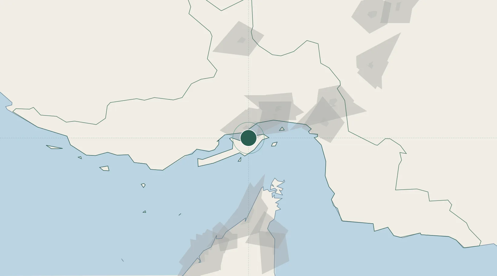
Nearby Logistics Neighbours

Cities
  1. 1Shahid Rajaee Pt/Bandar Abbas20 km
  2. 2Bandar Abbas25 km
  3. 3Shahid Bahonar28 km
  4. 4Quoin Island66 km
  5. 5Al Jeer Port102 km
Nearest neighbours — logibook spatial index (haversine) over the source coordinates
Ports
  1. 1Bandar-E Shahid Rejaie18 km
  2. 2Bandar Abbas30 km
  3. 3Jazireh-Ye Hormoz48 km
  4. 4Khawr Khasab85 km
  5. 5Mina Saqr108 km
Nearest neighbours — logibook spatial index (haversine) over the source coordinates
Airports
  1. 1Qeshm International Airport24 km
  2. 2Bandar Abbas International Airport48 km
  3. 3Khasab Airport90 km
  4. 4Bandar Lengeh International Airport126 km
  5. 5Oghab 44 Airbase131 km
Nearest neighbours — logibook spatial index (haversine) over the source coordinates
Trade Zones
  1. 1Shahid Rajaei Saheed Rajaee Port19 km
  2. 2Special Economic Zone of the Persian Gulf Mining and Metal Industries23 km
  3. 3Qeshm Free Trade - Industrial Zone27 km
  4. 4RAK Maritime City Free Zone112 km
  5. 5RAKEZ Academic Zone135 km
Nearest neighbours — logibook spatial index (haversine) over the source coordinates
DatabookThe Record of Consolidated Knowledge
Iran beyond logistics?
Browse databook

All Sources

LocationsUN/LOCODE
UN/LOCODE — free
Portsthe NGA World Port Index
Public domain (US gov)
AirportsOurAirports
Public domain
Trade Zonesthe World Bank SEZ database
CC BY 4.0
Trade ZonesOpen Zone Map
CC BY
← Iran locations