UN/LOCODE hub · India
INILP

Irungattukottai-Ilp-ICD

12.9833°, 79.9833°
1
Transport functions

Transport Functions

Multimodal
UN/LOCODE

Hub Profile

Region
TN
GeoNames

Location

Location of INILP
Natural Earth 10m (public domain) · TN · INILP · 12.98, 79.98GoogleOSMYandex

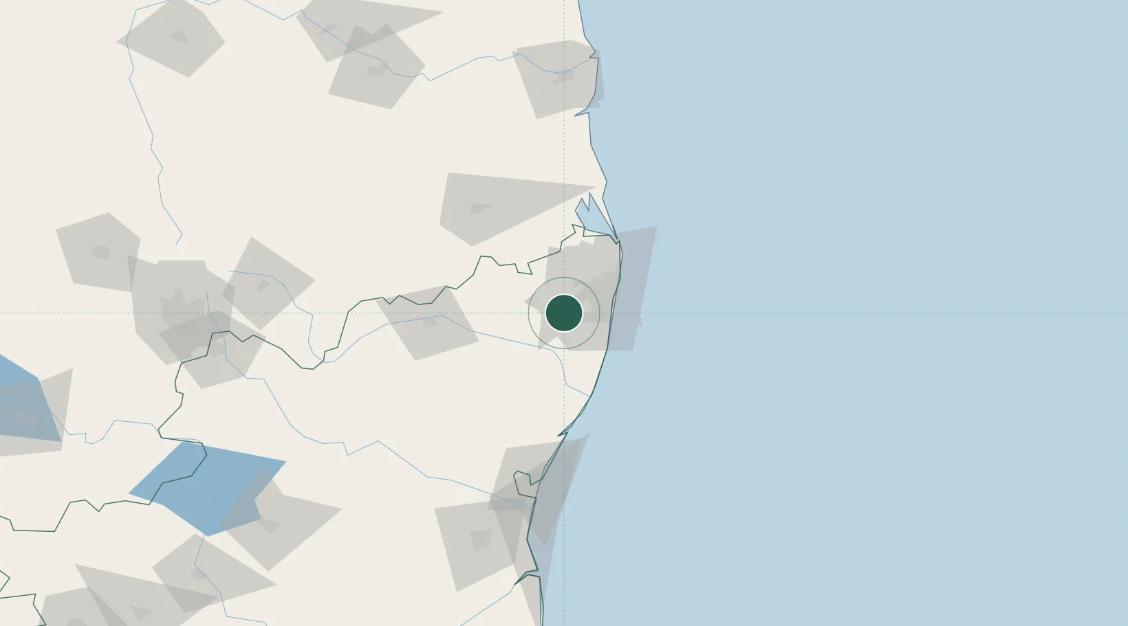
Nearby Logistics Neighbours

Cities
  1. 1Irungattukottai2 km
  2. 2Sriperumbudur4 km
  3. 3Ftil-SEZ/Sriperumbudur6 km
  4. 4JGHIPL SEZ/Sriperumbudur6 km
  5. 5Nipl-SEZ/Sriperumbudur6 km
Nearest neighbours — logibook spatial index (haversine) over the source coordinates
Ports
  1. 1Chennai (Madras)37 km
  2. 2Kamarajar Port50 km
  3. 3Pondicherry118 km
  4. 4Kattupalli Port142 km
  5. 5Cuddalore143 km
Nearest neighbours — logibook spatial index (haversine) over the source coordinates
Airports
  1. 1Chennai International Airport20 km
  2. 2Tirupati International Airport87 km
  3. 3Pondicherry Airport114 km
  4. 4Kadapa Airport215 km
  5. 5Salem Airport247 km
Nearest neighbours — logibook spatial index (haversine) over the source coordinates
Trade Zones
  1. 1Flextronics Technologies (India) Private Limited13 km
  2. 2MEPZ Special Economic Zone15 km
  3. 3DLF Info City21 km
  4. 4L & T Shipbuilding22 km
  5. 5Sterlite Industries (India) Limited24 km
Nearest neighbours — logibook spatial index (haversine) over the source coordinates
DatabookThe Record of Consolidated Knowledge
India beyond logistics?
Browse databook

All Sources

LocationsUN/LOCODE
UN/LOCODE — free
Portsthe NGA World Port Index
Public domain (US gov)
AirportsOurAirports
Public domain
Trade Zonesthe World Bank SEZ database
CC BY 4.0
Trade ZonesOpen Zone Map
CC BY
← India locations