Transport Functions
Road
Multimodal
Hub Profile
Region
TN
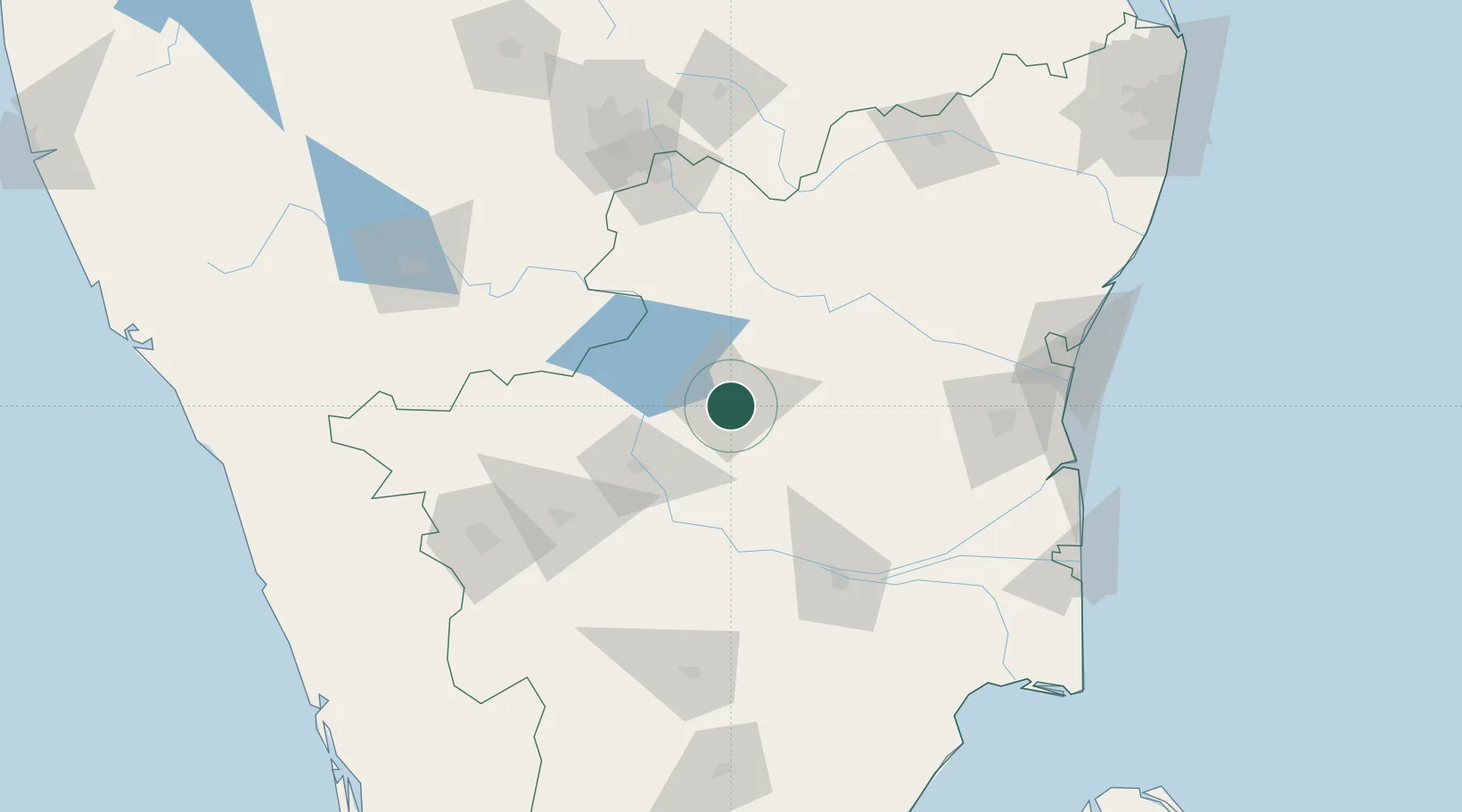
Location
Nearby Logistics Neighbours
Cities
- 1Yercaud15 km
- 2Erode58 km
- 3Sipcot-SEZ/Erode58 km
- 4Etlisl-SEZ/Erode58 km
- 5Karur78 km
Ports
- 1Cuddalore174 km
- 2Pondicherry184 km
- 3Karaikal Port206 km
- 4Nagappattinam208 km
- 5Beypore264 km
Airports
- 1Salem Airport19 km
- 2Tiruchirappalli International Airport116 km
- 3Coimbatore International Airport141 km
- 4HAL Airport154 km
- 5Jakkur Aerodrome170 km
Trade Zones
DatabookThe Record of Consolidated Knowledge
India beyond logistics?