UN/LOCODE hub · India
INKAR

Karur

10.9500°, 78.0833°
234,191
Population
4
Transport functions

Transport Functions

Port
Rail
Road
Multimodal
UN/LOCODE

Hub Profile

Place type
Populated place
GeoNames
Region
Tamil Nadu
GeoNames
Population
234,191
GeoNames
Time zone
Asia/Kolkata
GeoNames
Elevation
126 m
GeoNames

Location

Location of INKAR
Natural Earth 10m (public domain) · Tamil Nadu · INKAR · 10.95, 78.08GoogleOSMYandex

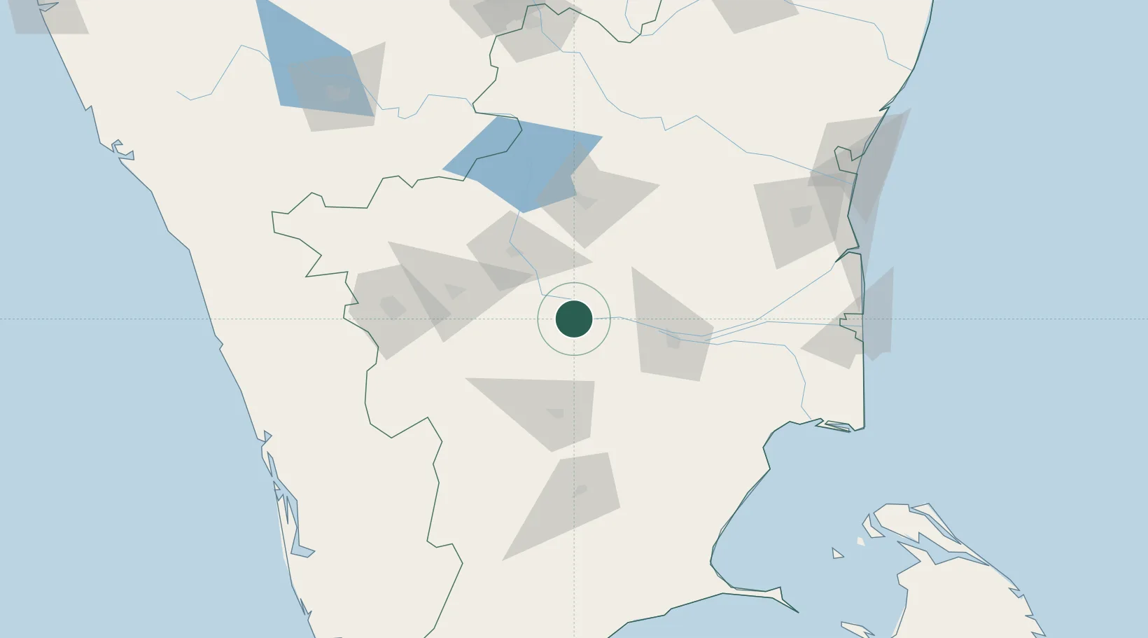
Nearby Logistics Neighbours

Cities
  1. 1Erode59 km
  2. 2Sipcot-SEZ/Erode59 km
  3. 3Etlisl-SEZ/Erode59 km
  4. 4ECTN SEZ/Tiruchirapalli67 km
  5. 5Ambatturai (Ambathurai)78 km
Nearest neighbours — logibook spatial index (haversine) over the source coordinates
Ports
  1. 1Nagappattinam194 km
  2. 2Karaikal Port195 km
  3. 3Cuddalore202 km
  4. 4Pondicherry220 km
  5. 5Kochi (Cochin)230 km
Nearest neighbours — logibook spatial index (haversine) over the source coordinates
Airports
  1. 1Tiruchirappalli International Airport72 km
  2. 2Salem Airport93 km
  3. 3Coimbatore International Airport114 km
  4. 4Madurai Airport124 km
  5. 5Cochin International Airport204 km
Nearest neighbours — logibook spatial index (haversine) over the source coordinates
Trade Zones
  1. 1Aspen Karumathamapatti Special Economic Zone (Formerly Aspen)102 km
  2. 2Rathinam Techzone121 km
  3. 3Span Ventures121 km
  4. 4Hcl Technologies Ltd.210 km
  5. 5Biocon Special Economic Zone214 km
Nearest neighbours — logibook spatial index (haversine) over the source coordinates
DatabookThe Record of Consolidated Knowledge
India beyond logistics?
Browse databook

All Sources

LocationsUN/LOCODE
UN/LOCODE — free
LocationsGeoNames
CC BY 4.0
Portsthe NGA World Port Index
Public domain (US gov)
AirportsOurAirports
Public domain
Trade Zonesthe World Bank SEZ database
CC BY 4.0
Trade ZonesOpen Zone Map
CC BY
← India locations