Specialized Zone · India

Wipro Limited (Electronic City) Active
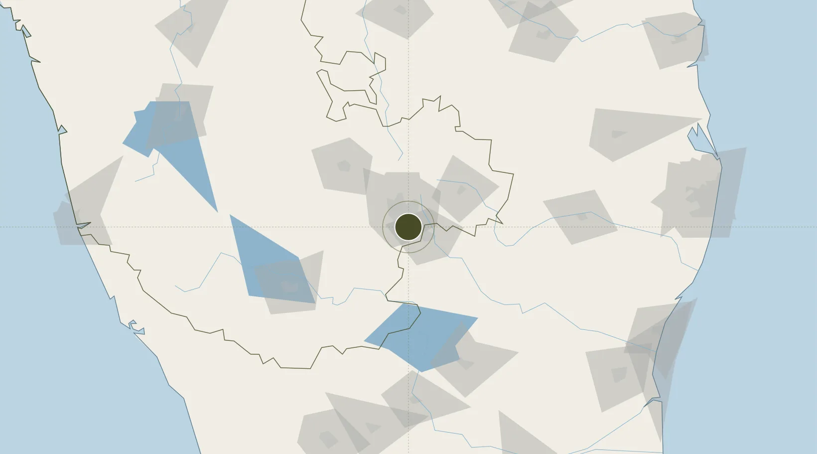
12.8395°, 77.6615°
5 ha
Zone area
256.5 km
Nearest port
12.3 km
Nearest airport

Gateway access

Nearest neighbours — logibook spatial index (haversine) over the source coordinates

Zone profile

Zone type
Specialized Zone
Open Zone Map
Specialization
IT
Open Zone Map
Region
Karnataka
Open Zone Map
Status
Active
Open Zone Map
Management
Private
Open Zone Map
Operator
Wipro Limited
Open Zone Map
Legal framework
9/378/SEZ/HYD/2017 dated 3.11.2007
Open Zone Map

Location

Location of ozm-2188
Natural Earth 10m (public domain) · Karnataka · ozm-2188 · 12.84, 77.66GoogleOSMYandex

Nearby Logistics Neighbours

Ports
  1. 1Pondicherry257 km
  2. 2Cuddalore261 km
  3. 3Calicut (Kozhikode)272 km
  4. 4Azhikal (Azhikkal)274 km
  5. 5Beypore275 km
Nearest neighbours — logibook spatial index (haversine) over the source coordinates
Airports
  1. 1HAL Airport12 km
  2. 2Jakkur Aerodrome27 km
  3. 3Kempegowda International Airport Bengaluru40 km
  4. 4Salem Airport125 km
  5. 5Mysore Airport129 km
Nearest neighbours — logibook spatial index (haversine) over the source coordinates
Cities
  1. 1Bd Sez/Bangalore3 km
  2. 2Apllp Sez/Bangalore7 km
  3. 3Sdpl Sez/Bangalore12 km
  4. 4Itpl Sezii/Whitefield17 km
  5. 5Kbits-SEZ/Bangalore18 km
Nearest neighbours — logibook spatial index (haversine) over the source coordinates
Trade Zones
  1. 1M s. Opto Infrastructure Limited0 km
  2. 2Velankani Technology Parks Pvt. Ltd.1 km
  3. 3Biocon Special Economic Zone2 km
  4. 4Hcl Technologies Ltd.6 km
  5. 5Wipro Limited (Sarjapur)9 km
Nearest neighbours — logibook spatial index (haversine) over the source coordinates
DatabookThe Record of Consolidated Knowledge
India beyond logistics?
Browse databook

All Sources

Trade ZonesOpen Zone Map
CC BY
Portsthe NGA World Port Index
Public domain (US gov)
AirportsOurAirports
Public domain
LocationsUN/LOCODE
UN/LOCODE — free
← India trade zones