UN/LOCODE hub · India
INERO

Erode

11.3500°, 77.7333°
521,891
Population
2
Transport functions

Transport Functions

Port
Road
UN/LOCODE

Hub Profile

Place type
Populated place
GeoNames
Region
Tamil Nadu
GeoNames
Population
521,891
GeoNames
Time zone
Asia/Kolkata
GeoNames
Elevation
170 m
GeoNames

Location

Location of INERO
Natural Earth 10m (public domain) · Tamil Nadu · INERO · 11.35, 77.73GoogleOSMYandex

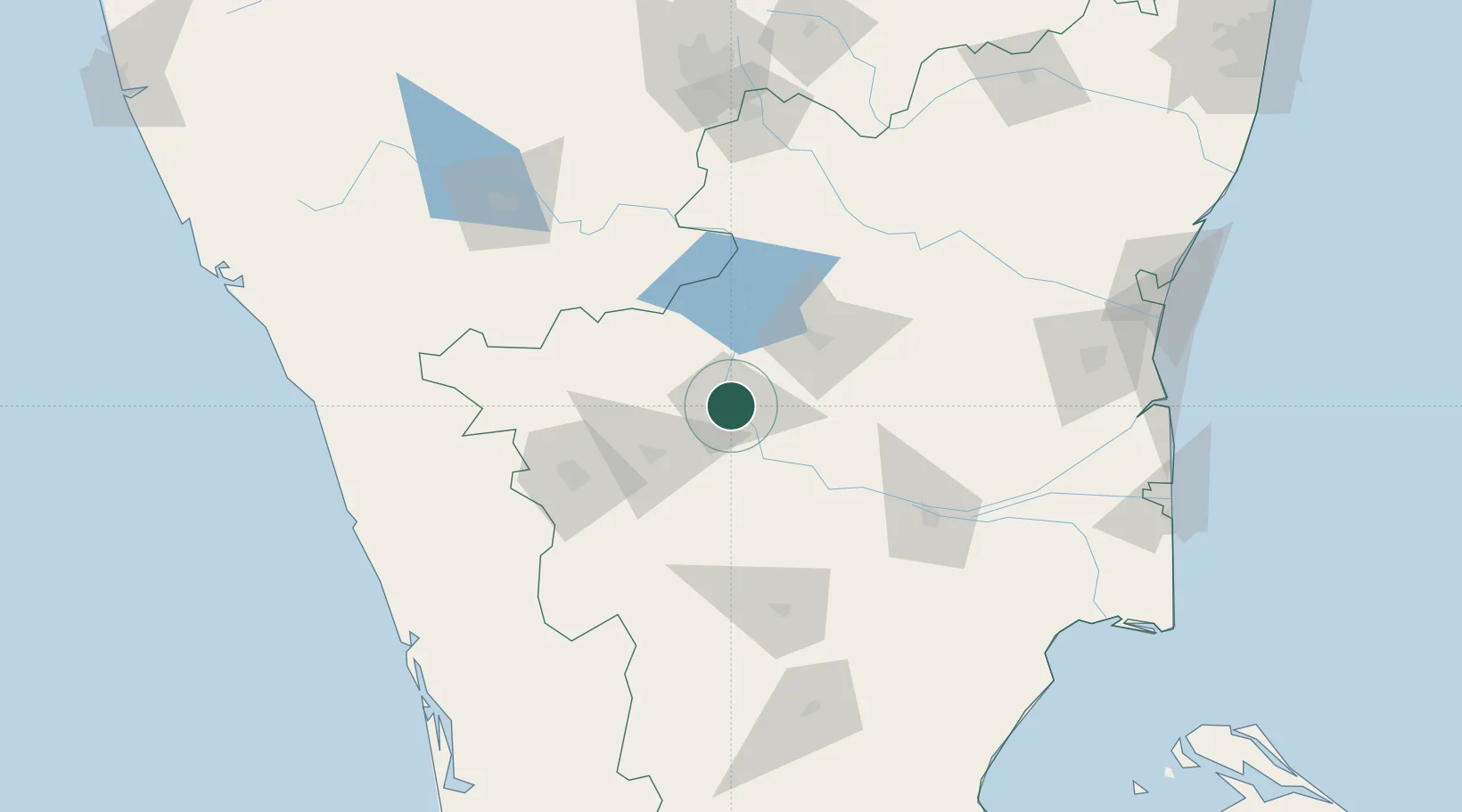
Nearby Logistics Neighbours

Cities
  1. 1Sipcot-SEZ/Erode0 km
  2. 2Etlisl-SEZ/Erode0 km
  3. 3CHIPL SEZ/Coimbatore45 km
  4. 4Tiruppur51 km
  5. 5ECTN SEZ/Salem58 km
Nearest neighbours — logibook spatial index (haversine) over the source coordinates
Ports
  1. 1Beypore212 km
  2. 2Calicut (Kozhikode)215 km
  3. 3Kochi (Cochin)225 km
  4. 4Cuddalore225 km
  5. 5Pondicherry238 km
Nearest neighbours — logibook spatial index (haversine) over the source coordinates
Airports
  1. 1Salem Airport60 km
  2. 2Coimbatore International Airport83 km
  3. 3Tiruchirappalli International Airport126 km
  4. 4Mysore Airport153 km
  5. 5Madurai Airport173 km
Nearest neighbours — logibook spatial index (haversine) over the source coordinates
Trade Zones
  1. 1Aspen Karumathamapatti Special Economic Zone (Formerly Aspen)66 km
  2. 2Rathinam Techzone94 km
  3. 3Span Ventures95 km
  4. 4Hcl Technologies Ltd.160 km
  5. 5Biocon Special Economic Zone165 km
Nearest neighbours — logibook spatial index (haversine) over the source coordinates
DatabookThe Record of Consolidated Knowledge
India beyond logistics?
Browse databook

All Sources

LocationsUN/LOCODE
UN/LOCODE — free
LocationsGeoNames
CC BY 4.0
Portsthe NGA World Port Index
Public domain (US gov)
AirportsOurAirports
Public domain
Trade Zonesthe World Bank SEZ database
CC BY 4.0
Trade ZonesOpen Zone Map
CC BY
← India locations