Transport Functions
Multimodal
Hub Profile
Place type
Populated place
Region
Tamil Nadu
Population
11,582
Time zone
Asia/Kolkata
Elevation
1,414 m
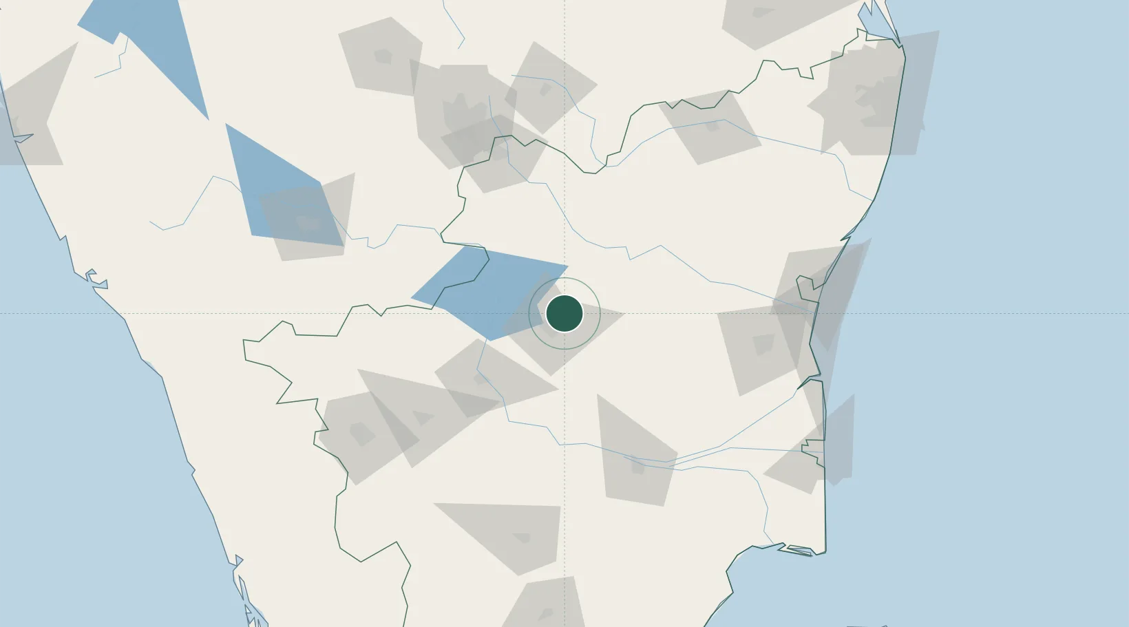
Location
Nearby Logistics Neighbours
Cities
- 1ECTN SEZ/Salem15 km
- 2Erode72 km
- 3Sipcot-SEZ/Erode72 km
- 4Etlisl-SEZ/Erode72 km
- 5ECTN SEZ/Krishnagiri85 km
Ports
- 1Cuddalore167 km
- 2Pondicherry175 km
- 3Karaikal Port206 km
- 4Nagappattinam208 km
- 5Chennai (Madras)269 km
Airports
- 1Salem Airport18 km
- 2Tiruchirappalli International Airport124 km
- 3HAL Airport145 km
- 4Coimbatore International Airport153 km
- 5Jakkur Aerodrome161 km
Trade Zones
DatabookThe Record of Consolidated Knowledge
India beyond logistics?