Transport Functions
Multimodal
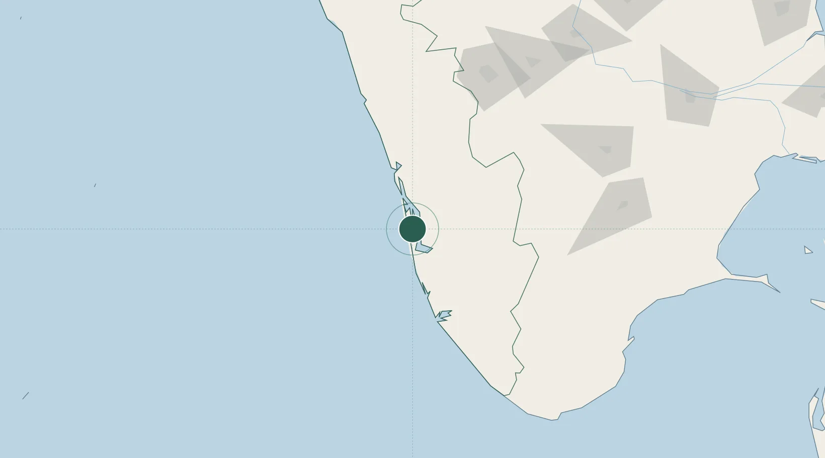
Hub Profile
Place type
Populated place
Region
Kerala
Population
45,474
Time zone
Asia/Kolkata
Elevation
9 m
Location
Nearby Logistics Neighbours
Cities
- 1Kottayam24 km
- 2Alleppey24 km
- 3Thoppumpady28 km
- 4Edappally31 km
- 5Kakkanad32 km
Ports
- 1Kochi (Cochin)32 km
- 2Quilon (Kollam)96 km
- 3Trivandrum151 km
- 4Beypore173 km
- 5Calicut (Kozhikode)183 km
Airports
Trade Zones
DatabookThe Record of Consolidated Knowledge
India beyond logistics?