Transport Functions
Port
Road
Hub Profile
Place type
Populated place
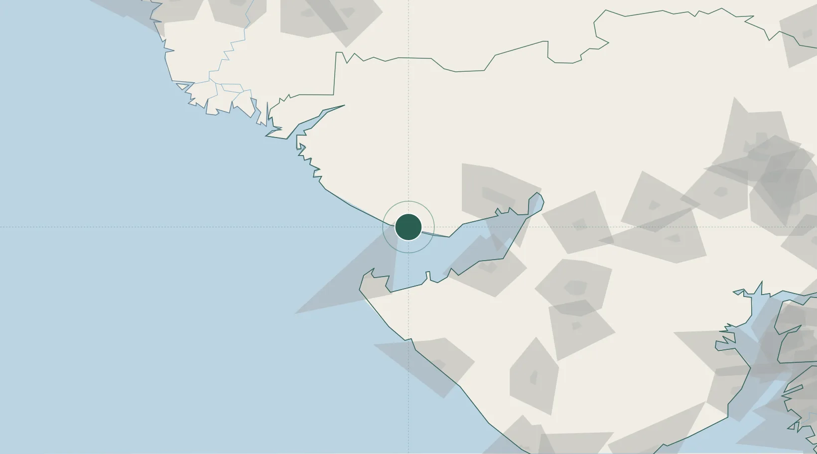
Region
Gujarat
Population
51,376
Time zone
Asia/Kolkata
Elevation
11 m
Location
Nearby Logistics Neighbours
Cities
- 1Mundra Port SEZ34 km
- 2Mundra34 km
- 3Positra52 km
- 4Sika65 km
- 5Welspun Anjar-SEZ/Anjar74 km
Ports
- 1Mundra37 km
- 2Okha50 km
- 3Vadinar Terminal51 km
- 4Sikka65 km
- 5Bedi75 km
Airports
- 1Bhuj Airport59 km
- 2Jamnagar Airport78 km
- 3Kandla Airport81 km
- 4Porbandar Airport135 km
- 5Rajkot Airport156 km
Trade Zones
DatabookThe Record of Consolidated Knowledge
India beyond logistics?