UN/LOCODE hub · India
INKTP

Kattupalli Port

13.3000°, 80.3833°
3
Transport functions

Transport Functions

Port
Rail
Road
UN/LOCODE

Hub Profile

Region
TN
GeoNames

Location

Location of INKTP
Natural Earth 10m (public domain) · TN · INKTP · 13.30, 80.38GoogleOSMYandex

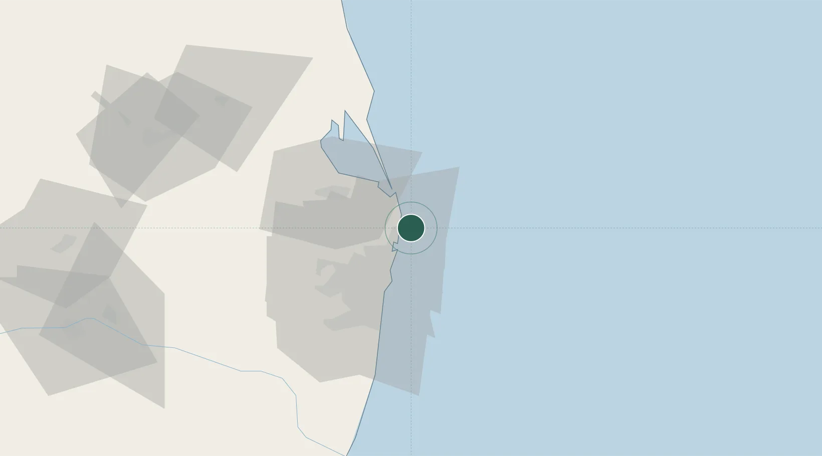
Nearby Logistics Neighbours

Cities
  1. 1Ennore6 km
  2. 2Mylapore15 km
  3. 3Kattupalli16 km
  4. 4Nandiambakkam17 km
  5. 5Chennai (ex Madras)23 km
Nearest neighbours — logibook spatial index (haversine) over the source coordinates
Ports
  1. 1Kamarajar Port6 km
  2. 2Chennai (Madras)24 km
  3. 3Kattupalli Port109 km
  4. 4Pondicherry163 km
  5. 5Cuddalore188 km
Nearest neighbours — logibook spatial index (haversine) over the source coordinates
Airports
  1. 1Chennai International Airport42 km
  2. 2Tirupati International Airport98 km
  3. 3Pondicherry Airport161 km
  4. 4Kadapa Airport220 km
  5. 5Kempegowda International Airport Bengaluru290 km
Nearest neighbours — logibook spatial index (haversine) over the source coordinates
Trade Zones
  1. 1Tril Info Park29 km
  2. 2New Chennai Developers Llp29 km
  3. 3State Industries Promotion Corporation of Tamil Nadu Limited29 km
  4. 4Sipcot32 km
  5. 5CCCL Infrastructure Limited32 km
Nearest neighbours — logibook spatial index (haversine) over the source coordinates
DatabookThe Record of Consolidated Knowledge
India beyond logistics?
Browse databook

All Sources

LocationsUN/LOCODE
UN/LOCODE — free
Portsthe NGA World Port Index
Public domain (US gov)
AirportsOurAirports
Public domain
Trade Zonesthe World Bank SEZ database
CC BY 4.0
Trade ZonesOpen Zone Map
CC BY
← India locations