UN/LOCODE hub · India
INPNY

Pondicherry

11.9167°, 79.8167°
4
Transport functions

Transport Functions

Port
Road
Airport
Multimodal
Pondicherry is also a profiled seaport →
UN/LOCODE

Hub Profile

Region
PY
GeoNames

Location

Location of INPNY
Natural Earth 10m (public domain) · PY · INPNY · 11.92, 79.82GoogleOSMYandex

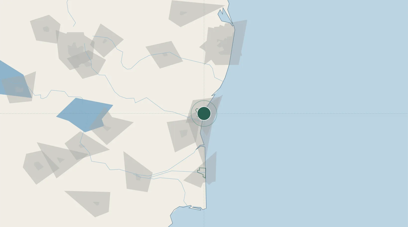
Nearby Logistics Neighbours

Cities
  1. 1Chidambaram59 km
  2. 2Tiruvannamalai88 km
  3. 3MWCDL-Apparels-SEZ/Chengalpattu89 km
  4. 4MWCDL-IT-SEZ/Chengalpattu89 km
  5. 5MWCDL-Auto-Ancillaries-SEZ/Chengalpattu89 km
Nearest neighbours — logibook spatial index (haversine) over the source coordinates
Ports
  1. 1Cuddalore23 km
  2. 2Karaikal Port121 km
  3. 3Nagappattinam128 km
  4. 4Chennai (Madras)142 km
  5. 5Kamarajar Port160 km
Nearest neighbours — logibook spatial index (haversine) over the source coordinates
Airports
  1. 1Pondicherry Airport6 km
  2. 2Chennai International Airport125 km
  3. 3Tiruchirappalli International Airport176 km
  4. 4Salem Airport191 km
  5. 5Tirupati International Airport193 km
Nearest neighbours — logibook spatial index (haversine) over the source coordinates
DatabookThe Record of Consolidated Knowledge
India beyond logistics?
Browse databook

All Sources

LocationsUN/LOCODE
UN/LOCODE — free
Portsthe NGA World Port Index
Public domain (US gov)
AirportsOurAirports
Public domain
Trade Zonesthe World Bank SEZ database
CC BY 4.0
Trade ZonesOpen Zone Map
CC BY
← India locations