UN/LOCODE hub · India
INKOH

Rll-SEZ/Medak

18.0333°, 78.2667°
1
Transport functions

Transport Functions

Multimodal
UN/LOCODE

Hub Profile

Region
AP
GeoNames

Location

Location of INKOH
Natural Earth 10m (public domain) · AP · INKOH · 18.03, 78.27GoogleOSMYandex

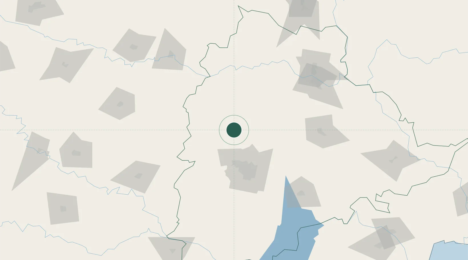
Nearby Logistics Neighbours

Cities
  1. 1Santa-SEZ/Muppireddipally0 km
  2. 2APIICL-SEZ/Medak0 km
  3. 3VBTL-SEZ/Medak0 km
  4. 4Igel Sez/Kodur-Settipali44 km
  5. 5APIIC-SEZ/Lalgadi53 km
Nearest neighbours — logibook spatial index (haversine) over the source coordinates
Ports
  1. 1Kakinada Bay445 km
  2. 2Kattupalli Port466 km
  3. 3Gangavaram529 km
  4. 4Vishakhapatnam534 km
  5. 5Ratnagiri541 km
Nearest neighbours — logibook spatial index (haversine) over the source coordinates
Airports
  1. 1Dundigul Air Force Academy47 km
  2. 2Begumpet Airport68 km
  3. 3Bidar Airport / Bidar Air Force Station84 km
  4. 4Rajiv Gandhi International Airport91 km
  5. 5Kalaburagi Airport160 km
Nearest neighbours — logibook spatial index (haversine) over the source coordinates
DatabookThe Record of Consolidated Knowledge
India beyond logistics?
Browse databook

All Sources

LocationsUN/LOCODE
UN/LOCODE — free
Portsthe NGA World Port Index
Public domain (US gov)
AirportsOurAirports
Public domain
Trade Zonesthe World Bank SEZ database
CC BY 4.0
Trade ZonesOpen Zone Map
CC BY
← India locations