UN/LOCODE hub · India
INHSI

SIPC SEZ/Krishnagiri

12.5333°, 78.2333°
2
Transport functions

Transport Functions

Road
Multimodal
UN/LOCODE

Hub Profile

Region
TN
GeoNames

Location

Location of INHSI
Natural Earth 10m (public domain) · TN · INHSI · 12.53, 78.23GoogleOSMYandex

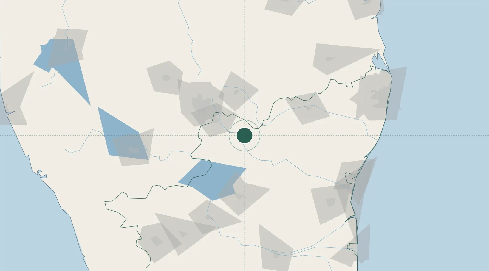
Nearby Logistics Neighbours

Cities
  1. 1ECTN SEZ/Krishnagiri0 km
  2. 2Deipl Sez/Kurubarapalli4 km
  3. 3HOSUR ICD50 km
  4. 4Bangarapet50 km
  5. 5Itpl Sezii/Whitefield71 km
Nearest neighbours — logibook spatial index (haversine) over the source coordinates
Ports
  1. 1Pondicherry186 km
  2. 2Cuddalore190 km
  3. 3Chennai (Madras)233 km
  4. 4Kamarajar Port243 km
  5. 5Karaikal Port260 km
Nearest neighbours — logibook spatial index (haversine) over the source coordinates
Airports
  1. 1HAL Airport77 km
  2. 2Salem Airport85 km
  3. 3Jakkur Aerodrome92 km
  4. 4Kempegowda International Airport Bengaluru93 km
  5. 5Mysore Airport175 km
Nearest neighbours — logibook spatial index (haversine) over the source coordinates
Trade Zones
  1. 1Biocon Special Economic Zone69 km
  2. 2Hcl Technologies Ltd.69 km
  3. 3M s. Opto Infrastructure Limited71 km
  4. 4Wipro Limited (Electronic City)71 km
  5. 5Velankani Technology Parks Pvt. Ltd.72 km
Nearest neighbours — logibook spatial index (haversine) over the source coordinates
DatabookThe Record of Consolidated Knowledge
India beyond logistics?
Browse databook

All Sources

LocationsUN/LOCODE
UN/LOCODE — free
Portsthe NGA World Port Index
Public domain (US gov)
AirportsOurAirports
Public domain
Trade Zonesthe World Bank SEZ database
CC BY 4.0
Trade ZonesOpen Zone Map
CC BY
← India locations