UN/LOCODE hub · India
INKKP

Kanakapura

12.5500°, 77.4167°
54,014
Population
2
Transport functions

Transport Functions

Rail
Road
UN/LOCODE

Hub Profile

Place type
Populated place
GeoNames
Region
Karnataka
GeoNames
Population
54,014
GeoNames
Time zone
Asia/Kolkata
GeoNames
Elevation
639 m
GeoNames

Location

Location of INKKP
Natural Earth 10m (public domain) · Karnataka · INKKP · 12.55, 77.42GoogleOSMYandex

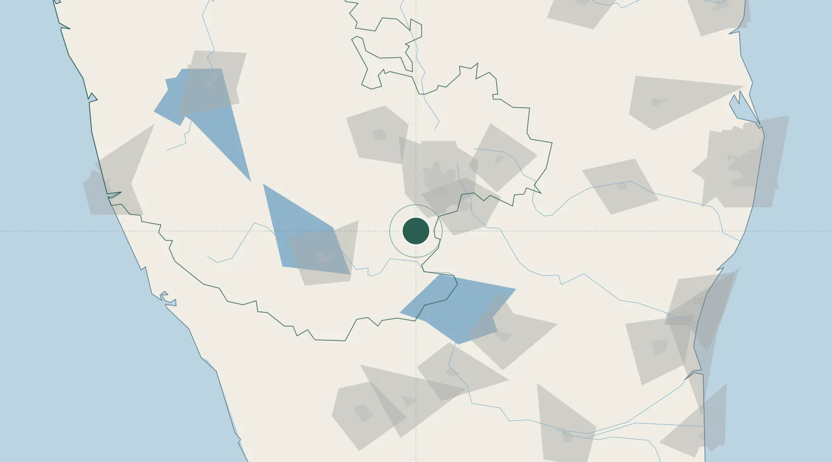
Nearby Logistics Neighbours

Cities
  1. 1Bd Sez/Bangalore41 km
  2. 2Sdpl Sez/Bangalore42 km
  3. 3Apllp Sez/Bangalore43 km
  4. 4HOSUR ICD47 km
  5. 5Magadi50 km
Nearest neighbours — logibook spatial index (haversine) over the source coordinates
Ports
  1. 1Calicut (Kozhikode)231 km
  2. 2Beypore234 km
  3. 3Azhikal (Azhikkal)239 km
  4. 4Pondicherry271 km
  5. 5Cuddalore272 km
Nearest neighbours — logibook spatial index (haversine) over the source coordinates
Airports
  1. 1HAL Airport52 km
  2. 2Jakkur Aerodrome62 km
  3. 3Kempegowda International Airport Bengaluru79 km
  4. 4Mysore Airport90 km
  5. 5Salem Airport111 km
Nearest neighbours — logibook spatial index (haversine) over the source coordinates
Trade Zones
  1. 1Hcl Technologies Ltd.37 km
  2. 2Wipro Limited (Electronic City)42 km
  3. 3M s. Opto Infrastructure Limited42 km
  4. 4Sattva Global City SEZ42 km
  5. 5Velankani Technology Parks Pvt. Ltd.42 km
Nearest neighbours — logibook spatial index (haversine) over the source coordinates
DatabookThe Record of Consolidated Knowledge
India beyond logistics?
Browse databook

All Sources

LocationsUN/LOCODE
UN/LOCODE — free
LocationsGeoNames
CC BY 4.0
Portsthe NGA World Port Index
Public domain (US gov)
AirportsOurAirports
Public domain
Trade Zonesthe World Bank SEZ database
CC BY 4.0
Trade ZonesOpen Zone Map
CC BY
← India locations