Transport Functions
Rail
Road
Hub Profile
Place type
Populated place
Region
Karnataka
Population
27,605
Time zone
Asia/Kolkata
Elevation
879 m
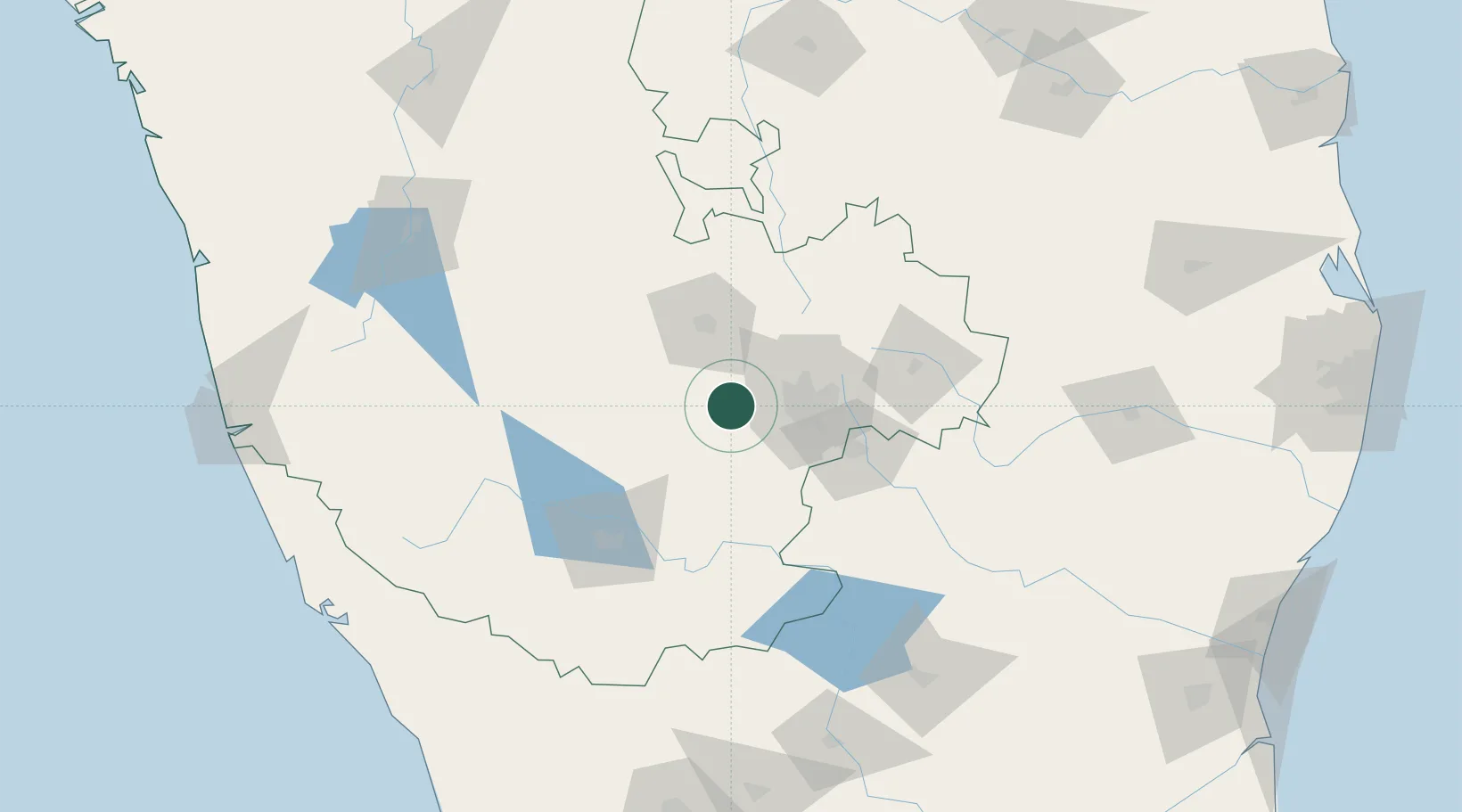
Location
Nearby Logistics Neighbours
Cities
- 1Landt Cel Sezii/Bangalore North12 km
- 2Landt Cel Sezi/Bangalore North14 km
- 3Sdpl Sez/Bangalore37 km
- 4Kbits-SEZ/Bangalore38 km
- 5GOCL SEZ/Bangalore38 km
Ports
- 1Azhikal (Azhikkal)238 km
- 2Calicut (Kozhikode)249 km
- 3Beypore254 km
- 4New Mangalore262 km
- 5Pondicherry305 km
Airports
- 1Jakkur Aerodrome41 km
- 2HAL Airport47 km
- 3Kempegowda International Airport Bengaluru57 km
- 4Mysore Airport103 km
- 5Sri Sathya Sai Airport145 km
DatabookThe Record of Consolidated Knowledge
India beyond logistics?