UN/LOCODE hub · India
INBAU

IT-ITES-A-SEZ/Ulwe

18.2500°, 73.4333°
1
Transport functions

Transport Functions

Multimodal
UN/LOCODE

Hub Profile

Region
MH
GeoNames

Location

Location of INBAU
Natural Earth 10m (public domain) · MH · INBAU · 18.25, 73.43GoogleOSMYandex

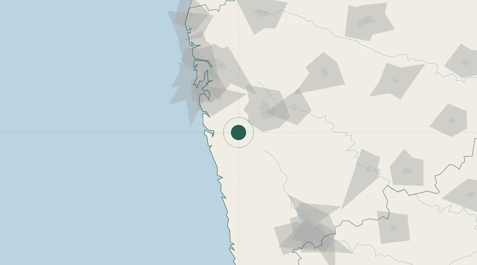
Nearby Logistics Neighbours

Cities
  1. 1IT-ITES-B-SEZ/Ulwe0 km
  2. 2Multi Services-SEZ/Ulwe0 km
  3. 3Dighi (Pune)49 km
  4. 4EKIPL SEZ/Pune56 km
  5. 5ITL SEZ/Pune56 km
Nearest neighbours — logibook spatial index (haversine) over the source coordinates
Ports
  1. 1Port Dabhol79 km
  2. 2Jawaharlal Nehru Port (Nhava Shiva)93 km
  3. 3Mumbai (Bombay)100 km
  4. 4Jaigarh Bay108 km
  5. 5Ratnagiri142 km
Nearest neighbours — logibook spatial index (haversine) over the source coordinates
Airports
  1. 1Pune International Airport63 km
  2. 2Navi Mumbai International Airport90 km
  3. 3Chhatrapati Shivaji Maharaj International Airport111 km
  4. 4Baramati Airport122 km
  5. 5Ratnagiri Airport138 km
Nearest neighbours — logibook spatial index (haversine) over the source coordinates
Trade Zones
  1. 1Embassy Quadron Tech Park47 km
  2. 2Infosys Limited49 km
  3. 3Pune Embassy India Pvt Ltd49 km
  4. 4International Specialized Zone (Bio-Tech) Park Limited.54 km
  5. 5Maharashtra Industrial Development Corporation, Hinjewadi Pune.55 km
Nearest neighbours — logibook spatial index (haversine) over the source coordinates
DatabookThe Record of Consolidated Knowledge
India beyond logistics?
Browse databook

All Sources

LocationsUN/LOCODE
UN/LOCODE — free
Portsthe NGA World Port Index
Public domain (US gov)
AirportsOurAirports
Public domain
Trade Zonesthe World Bank SEZ database
CC BY 4.0
Trade ZonesOpen Zone Map
CC BY
← India locations