Specialized Zone · India

Embassy Quadron Tech Park Active
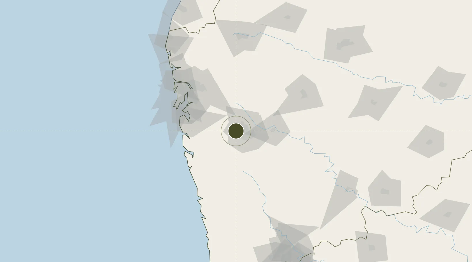
18.5866°, 73.6972°
10 ha
Zone area
88.4 km
Nearest port
23.5 km
Nearest airport

Gateway access

Nearest neighbours — logibook spatial index (haversine) over the source coordinates

Zone profile

Zone type
Specialized Zone
Open Zone Map
Specialization
Tech
Open Zone Map
Region
Maharashtra
Open Zone Map
Status
Active
Open Zone Map
Management
Private
Open Zone Map
Operator
Embassy Group
Open Zone Map
Legal framework
Maharashtra SEZ Act/Policy, The Special Economic Zones Act, 2005
Open Zone Map

Location

Location of ozm-2311
Natural Earth 10m (public domain) · Maharashtra · ozm-2311 · 18.59, 73.70GoogleOSMYandex

Nearby Logistics Neighbours

Ports
  1. 1Jawaharlal Nehru Port (Nhava Shiva)88 km
  2. 2Mumbai (Bombay)97 km
  3. 3Port Dabhol125 km
  4. 4Jaigarh Bay152 km
  5. 5Ratnagiri184 km
Nearest neighbours — logibook spatial index (haversine) over the source coordinates
Airports
  1. 1Pune International Airport24 km
  2. 2Navi Mumbai International Airport80 km
  3. 3Baramati Airport102 km
  4. 4Chhatrapati Shivaji Maharaj International Airport104 km
  5. 5Shirdi International Airport142 km
Nearest neighbours — logibook spatial index (haversine) over the source coordinates
Cities
  1. 1Chinchwad Station11 km
  2. 2Pune18 km
  3. 3EKIPL SEZ/Pune19 km
  4. 4ITL SEZ/Pune19 km
  5. 5MTDCCL SEZ/Pune19 km
Nearest neighbours — logibook spatial index (haversine) over the source coordinates
DatabookThe Record of Consolidated Knowledge
India beyond logistics?
Browse databook

All Sources

Trade ZonesOpen Zone Map
CC BY
Portsthe NGA World Port Index
Public domain (US gov)
AirportsOurAirports
Public domain
LocationsUN/LOCODE
UN/LOCODE — free
← India trade zones