Specialized Zone · India

Maharashtra Industrial Development Corporation, Hinjewadi Pune. Active
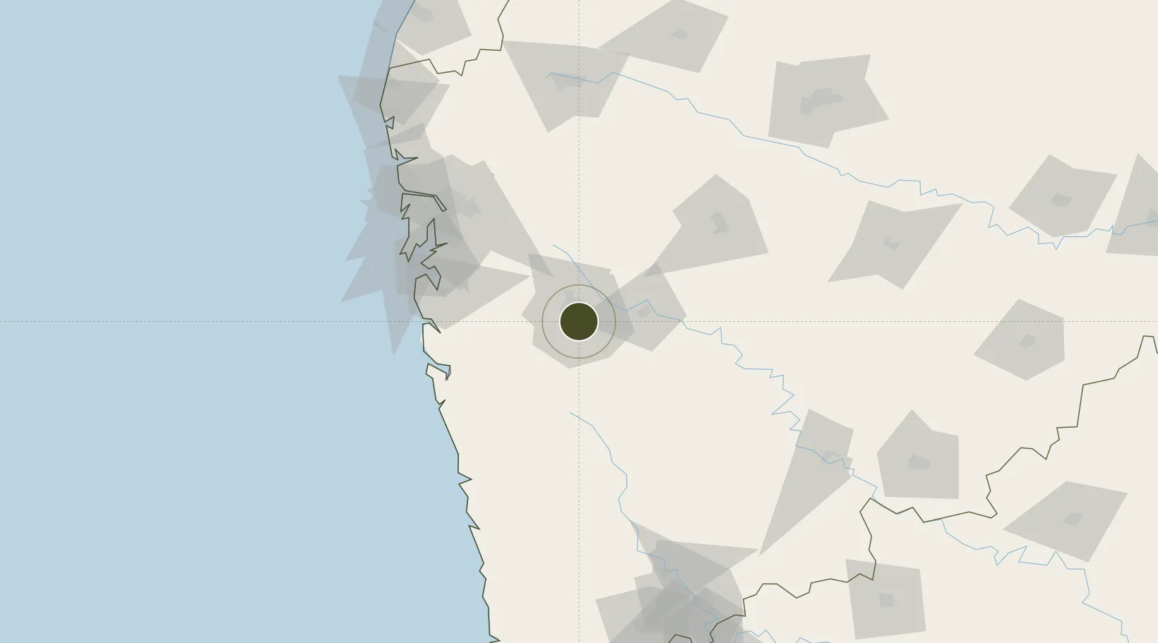
18.5402°, 73.8516°
223 ha
Zone area
105.3 km
Nearest port
8.6 km
Nearest airport

Gateway access

Nearest neighbours — logibook spatial index (haversine) over the source coordinates

Zone profile

Zone type
Specialized Zone
Open Zone Map
Specialization
Tech
Open Zone Map
Region
Maharashtra
Open Zone Map
Status
Active
Open Zone Map
Management
Public-Private Partnership
Open Zone Map
Operator
Maharashtra Industrial Development Corporation
Open Zone Map
Legal framework
Maharashtra SEZ Act/Policy, The Special Economic Zones Act, 2005
Open Zone Map

Location

Location of ozm-2321
Natural Earth 10m (public domain) · Maharashtra · ozm-2321 · 18.54, 73.85GoogleOSMYandex

Nearby Logistics Neighbours

Ports
  1. 1Jawaharlal Nehru Port (Nhava Shiva)105 km
  2. 2Mumbai (Bombay)114 km
  3. 3Port Dabhol129 km
  4. 4Jaigarh Bay153 km
  5. 5Ratnagiri183 km
Nearest neighbours — logibook spatial index (haversine) over the source coordinates
Airports
  1. 1Pune International Airport9 km
  2. 2Baramati Airport85 km
  3. 3Navi Mumbai International Airport96 km
  4. 4Chhatrapati Shivaji Maharaj International Airport120 km
  5. 5Shirdi International Airport139 km
Nearest neighbours — logibook spatial index (haversine) over the source coordinates
Cities
  1. 1EKIPL SEZ/Pune2 km
  2. 2ITL SEZ/Pune2 km
  3. 3MTDCCL SEZ/Pune2 km
  4. 4BTSL SEZ/Pune2 km
  5. 5SIPL SEZ/Pune2 km
Nearest neighbours — logibook spatial index (haversine) over the source coordinates
DatabookThe Record of Consolidated Knowledge
India beyond logistics?
Browse databook

All Sources

Trade ZonesOpen Zone Map
CC BY
Portsthe NGA World Port Index
Public domain (US gov)
AirportsOurAirports
Public domain
LocationsUN/LOCODE
UN/LOCODE — free
← India trade zones