UN/LOCODE hub · India
INLUH

Ludhiana

30.8611°, 75.9422°
1,618,879
Population
2
Transport functions

Transport Functions

Airport
Multimodal
UN/LOCODE

Hub Profile

Place type
Populated place
GeoNames
Region
Punjab
GeoNames
Population
1,618,879
GeoNames
Time zone
Asia/Kolkata
GeoNames
Elevation
256 m
GeoNames
Logistics facilities
38
UN/LOCODE

Location

Location of INLUH
Natural Earth 10m (public domain) · Punjab · INLUH · 30.86, 75.94GoogleOSMYandex

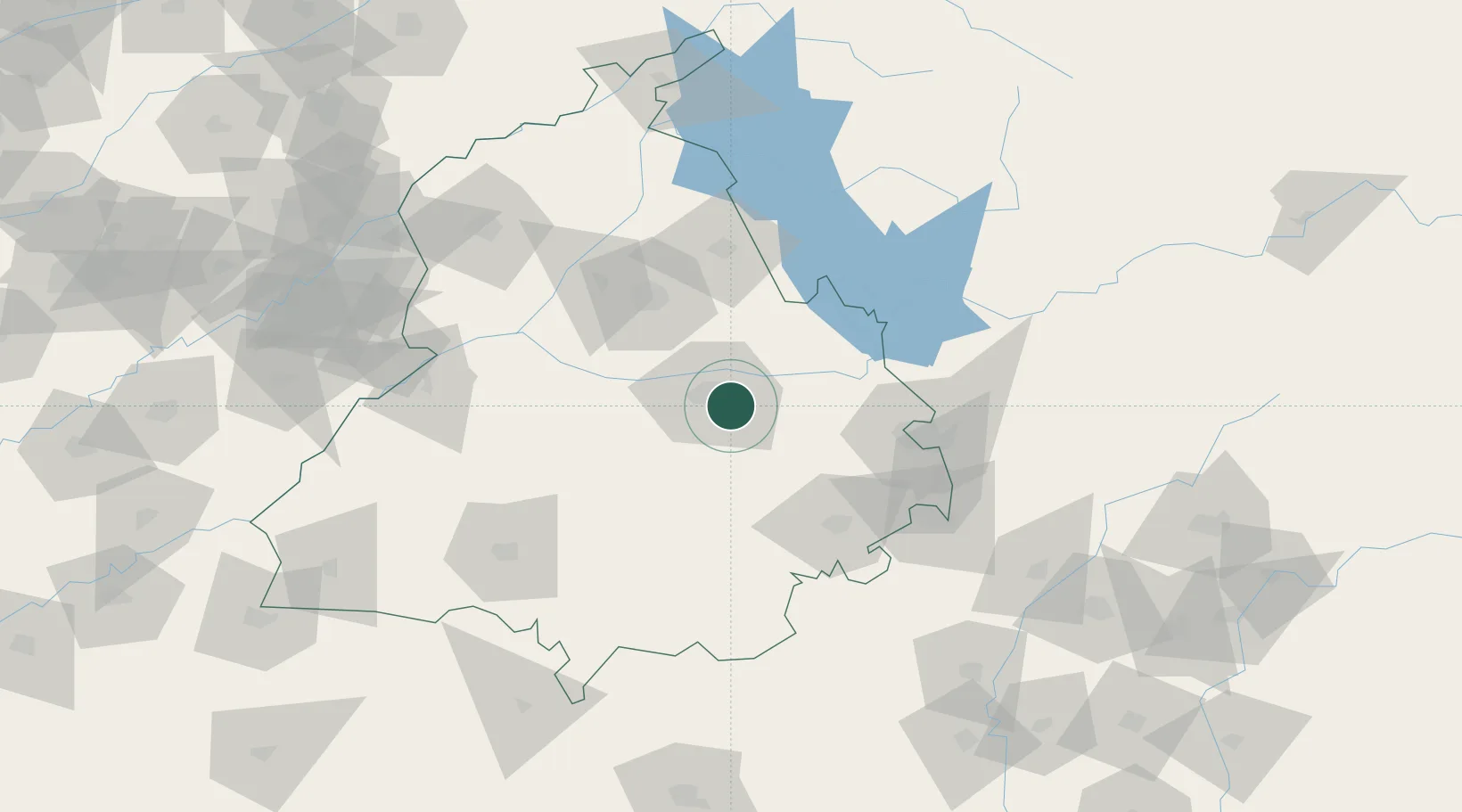
Nearby Logistics Neighbours

Cities
  1. 1Kanech ICD/Sahnewal4 km
  2. 2GRFL ICD/Sahnwewal5 km
  3. 3Sahnewal6 km
  4. 4PSWC ICD/Dhandari Kalan7 km
  5. 5Adani Icd/Kila Raipur15 km
Nearest neighbours — logibook spatial index (haversine) over the source coordinates
Ports
  1. 1Navlakhi1034 km
  2. 2Kandla1039 km
  3. 3Dahej1074 km
  4. 4Bhavnagar1077 km
  5. 5Muhamamad Bin Qasim1083 km
Nearest neighbours — logibook spatial index (haversine) over the source coordinates
Airports
  1. 1Ludhiana Airport1 km
  2. 2Halwara International Airport32 km
  3. 3Adampur Airport66 km
  4. 4Shaheed Bhagat Singh International Airport84 km
  5. 5Ambala Air Force Station100 km
Nearest neighbours — logibook spatial index (haversine) over the source coordinates
Trade Zones
  1. 1Quarkcity India Pvt. Ltd.74 km
  2. 2Rajeev Gandhi Technology Park, Phase-2, Chandigarh85 km
  3. 3Rajiv Gandhi Technology Park, Phase-1 Chandigarh85 km
  4. 4Rachna Industrial Park193 km
  5. 5Gujranwala Export Processing Zone232 km
Nearest neighbours — logibook spatial index (haversine) over the source coordinates
DatabookThe Record of Consolidated Knowledge
India beyond logistics?
Browse databook

All Sources

LocationsUN/LOCODE
UN/LOCODE — free
LocationsGeoNames
CC BY 4.0
Portsthe NGA World Port Index
Public domain (US gov)
AirportsOurAirports
Public domain
Trade Zonesthe World Bank SEZ database
CC BY 4.0
Trade ZonesOpen Zone Map
CC BY
← India locations