UN/LOCODE hub · India
INFBE

Faridabad

28.3441°, 77.3112°
1,414,050
Population
1
Transport functions

Transport Functions

Multimodal
UN/LOCODE

Hub Profile

Place type
Provincial seat
GeoNames
Region
Haryana
GeoNames
Population
1,414,050
GeoNames
Time zone
Asia/Kolkata
GeoNames
Elevation
209 m
GeoNames
Logistics facilities
1
UN/LOCODE

Location

Location of INFBE
Natural Earth 10m (public domain) · Haryana · INFBE · 28.34, 77.31GoogleOSMYandex

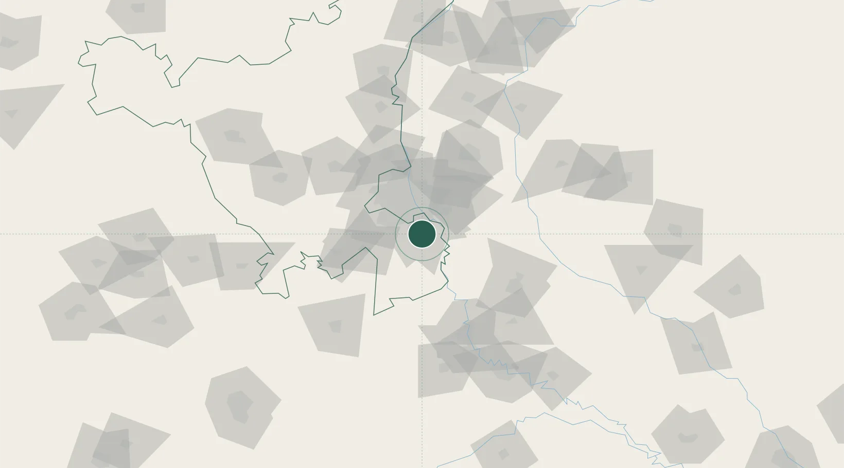
Nearby Logistics Neighbours

Cities
  1. 1Concor-ICD/Ballabhgarh1 km
  2. 2Faridabad3 km
  3. 3GRFL ICD/Ballabhgarh9 km
  4. 4GPRPL SEZ/Gurgaon16 km
  5. 5Palwal ICD16 km
Nearest neighbours — logibook spatial index (haversine) over the source coordinates
Ports
  1. 1Dahej882 km
  2. 2Bhavnagar892 km
  3. 3Navlakhi912 km
  4. 4Magdalla923 km
  5. 5Kandla924 km
Nearest neighbours — logibook spatial index (haversine) over the source coordinates
Airports
  1. 1Safdarjung Airport29 km
  2. 2Indira Gandhi International Airport32 km
  3. 3Noida International Airport35 km
  4. 4Hindon Airport / Hindon Air Force Station41 km
  5. 5Aligarh Airport98 km
Nearest neighbours — logibook spatial index (haversine) over the source coordinates
Trade Zones
  1. 1Asf Insignia SEZ Pvt. Ltd. (Formerly Known As Canton Buildwell Pvt. Ltd.)18 km
  2. 2ASF Insignia SEZ18 km
  3. 3Dr. Fresh Healthcare Pvt. Ltd.19 km
  4. 4TCS Noida20 km
  5. 5Espire Infrastructure Corporation Limited20 km
Nearest neighbours — logibook spatial index (haversine) over the source coordinates
DatabookThe Record of Consolidated Knowledge
India beyond logistics?
Browse databook

All Sources

LocationsUN/LOCODE
UN/LOCODE — free
LocationsGeoNames
CC BY 4.0
Portsthe NGA World Port Index
Public domain (US gov)
AirportsOurAirports
Public domain
Trade Zonesthe World Bank SEZ database
CC BY 4.0
Trade ZonesOpen Zone Map
CC BY
← India locations