Transport Functions
Port
Airport
Hub Profile
Region
NL
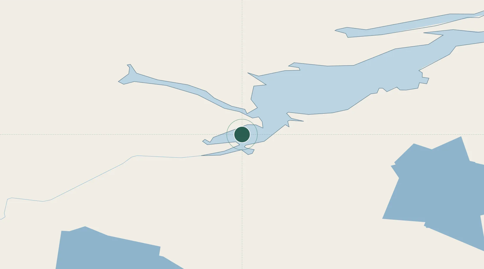
Location
Nearby Logistics Neighbours
Cities
- 1Drogheda Premiere Periclase159 km
- 2Adlavik187 km
- 3Hopedale228 km
- 4Saint-Augustin262 km
- 5L'Anse-au-Loup308 km
Ports
- 1Blanc Sablon302 km
- 2Nain363 km
- 3St Anthony385 km
- 4Roddickton394 km
- 5Havre St Pierre424 km
Airports
- 1Goose Bay Airport19 km
- 2Rigolet Airport142 km
- 3Postville Airport170 km
- 4Makkovik Airport197 km
- 5Cartwright Airport209 km
Trade Zones
- 1Crossroads Business Park630 km
- 2Cape Breton Regional Municipality Foreign Trade Zone805 km
- 3FTZ No. 179 Madawaska893 km
- 4Saint John999 km
- 5Halifax Gateway1004 km
DatabookThe Record of Consolidated Knowledge
Canada beyond logistics?