Medium airport · Canada
Goose Bay AirportCYYR
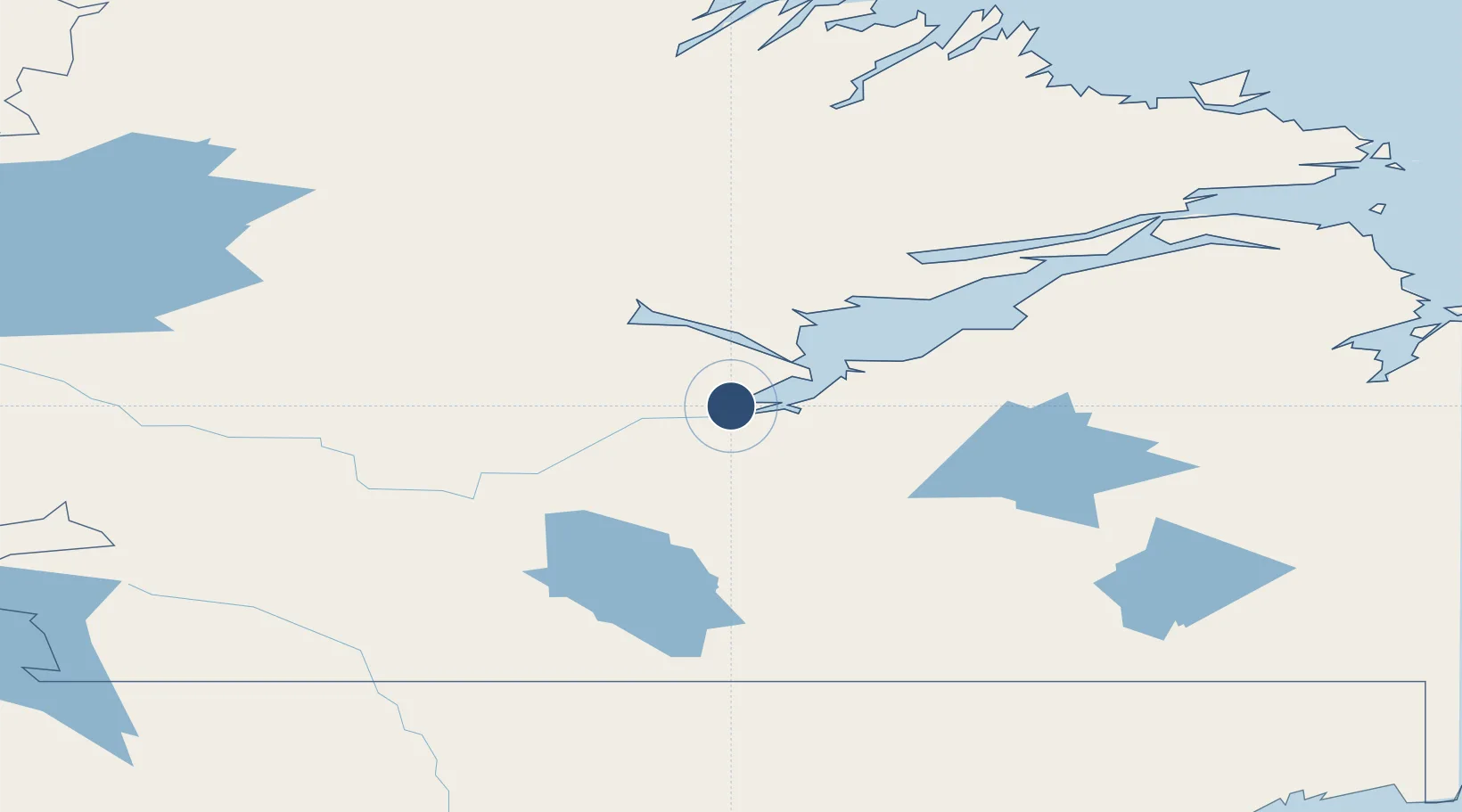
53.3192°, -60.4258°
11,046 ft
Longest runway
2
Runways
160 ft
Elevation
Runway & Layout

Radio Frequencies
ATIS
128.1 MHz
TWR
119.1 MHz
GND
121.9 MHz
CLD
118.1 MHz
CLNC DEL
CNTR
120.4 MHz
GANDER CNTR
FBO
122.9 MHz
Wooward Aviation (Esso)
MIL
129.3 MHz
Ranger Base
OPS
129.85 MHz
WING OPS
PAL
120.4 MHz
Gander Centre
PMSV
344.6 MHz
RCO
123.475 MHz
Halifax Radio (FISE)
RDR
119.9 MHz
PAR
TML
119.5 MHz
Goose Bay Terminal
Navaids
UYR TACAN Goose 110.30 MHz
YR NDB Goose 257 kHz
YYR VOR-DME Goose 117.30 MHz
Runways · 2
| Runway | Dimensions | Surface | True heading | Lit |
|---|---|---|---|---|
| 08/26 | 11,046 × 209ft | Asphalt | 055° | ✓ |
| 15/33 | 9,580 × 200ft | Asphalt | 133° | ✓ |
Airport Specifications
IATA code
YYR
ICAO code
CYYR
Airport class
Medium airport
Scheduled service
Yes
Runway surface
Asphalt
Served city
Goose Bay
Location
Nearby Logistics Neighbours
Airports
- 1Rigolet Airport161 km
- 2Postville Airport182 km
- 3Makkovik Airport211 km
- 4Cartwright Airport227 km
- 5Hopedale Airport237 km
Cities
- 1Goose Bay19 km
- 2Drogheda Premiere Periclase145 km
- 3Adlavik203 km
- 4Hopedale237 km
- 5Saint-Augustin262 km
Ports
- 1Goose Bay10 km
- 2Blanc Sablon308 km
- 3Nain368 km
- 4St Anthony395 km
- 5Roddickton400 km
Trade Zones
- 1Crossroads Business Park634 km
- 2Cape Breton Regional Municipality Foreign Trade Zone796 km
- 3FTZ No. 179 Madawaska875 km
- 4Saint John983 km
- 5Halifax Gateway991 km
DatabookThe Record of Consolidated Knowledge
Canada beyond logistics?