Transport Functions
Port
Rail
Road
Hub Profile
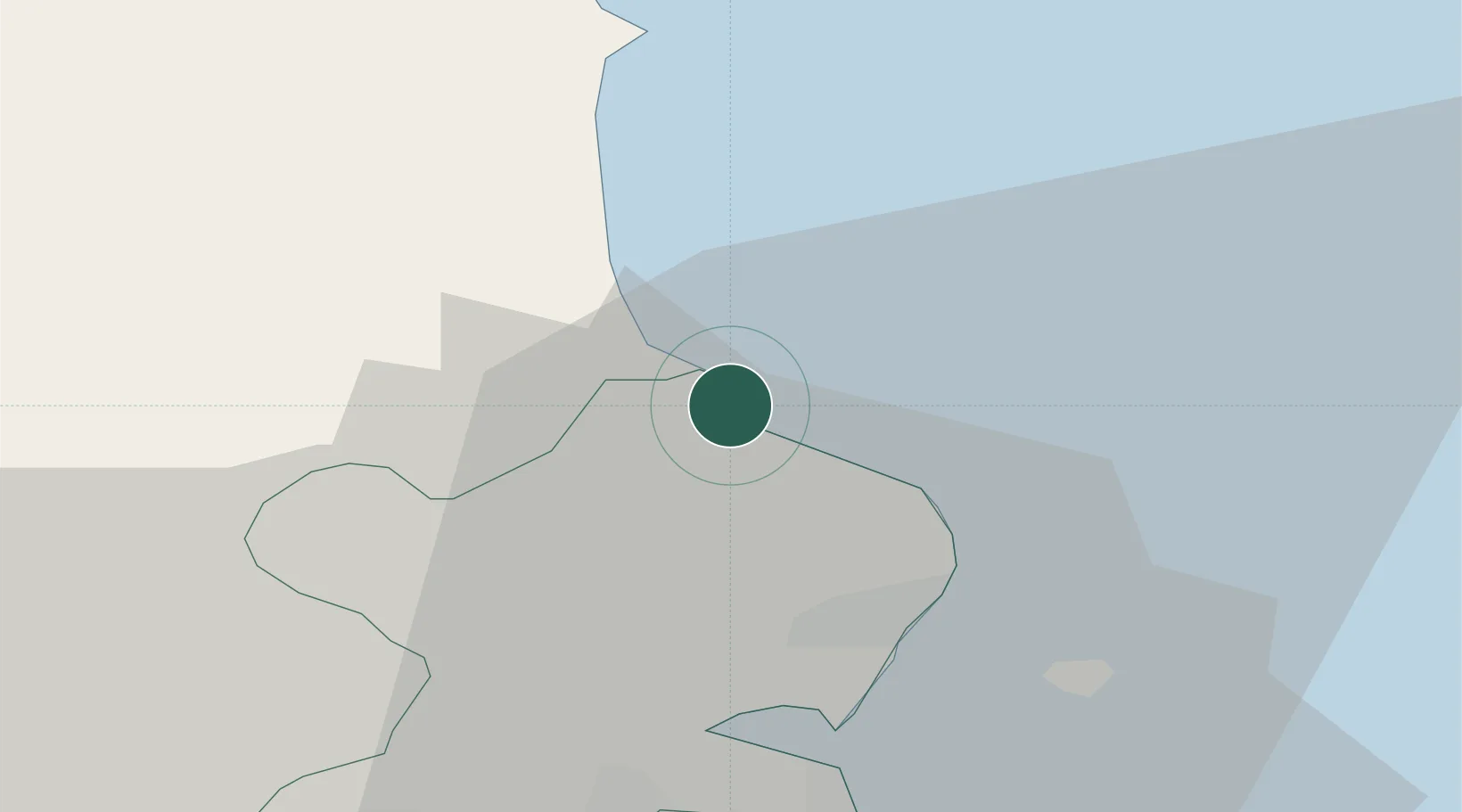
Place type
Populated place
Region
Leinster
Population
21,722
Time zone
Europe/Dublin
Elevation
12 m
Location
Nearby Logistics Neighbours
Cities
- 1Balbriggan2 km
- 2Gormanston3 km
- 3Tom Roes Point Terminal/Drogheda14 km
- 4Drogheda Maxol Facility15 km
- 5Town Quays/Drogheda15 km
Ports
- 1Drogheda14 km
- 2Dublin30 km
- 3Greenore46 km
- 4Kilkeel50 km
- 5Warren Point54 km
Airports
- 1Dublin Airport22 km
- 2Weston Airport36 km
- 3Casement Air Base39 km
- 4George Best Belfast City Airport113 km
- 5Isle of Man Airport115 km
Trade Zones
DatabookThe Record of Consolidated Knowledge
Ireland beyond logistics?