Transport Functions
Port
Road
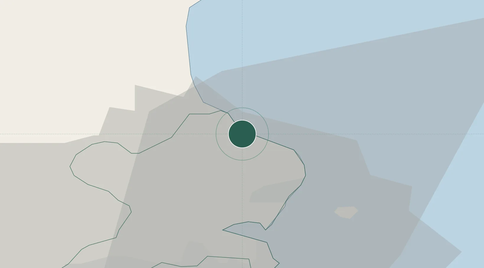
Location
Nearby Logistics Neighbours
Cities
- 1Balbriggan2 km
- 2Gormanston5 km
- 3Tom Roes Point Terminal/Drogheda16 km
- 4Drogheda Maxol Facility17 km
- 5Town Quays/Drogheda17 km
Ports
- 1Drogheda16 km
- 2Dublin28 km
- 3Greenore48 km
- 4Kilkeel52 km
- 5Warren Point56 km
Airports
- 1Dublin Airport20 km
- 2Weston Airport35 km
- 3Casement Air Base38 km
- 4Isle of Man Airport115 km
- 5George Best Belfast City Airport115 km
Trade Zones
DatabookThe Record of Consolidated Knowledge
United Kingdom beyond logistics?