Transport Functions
Rail
Road
Multimodal
Hub Profile
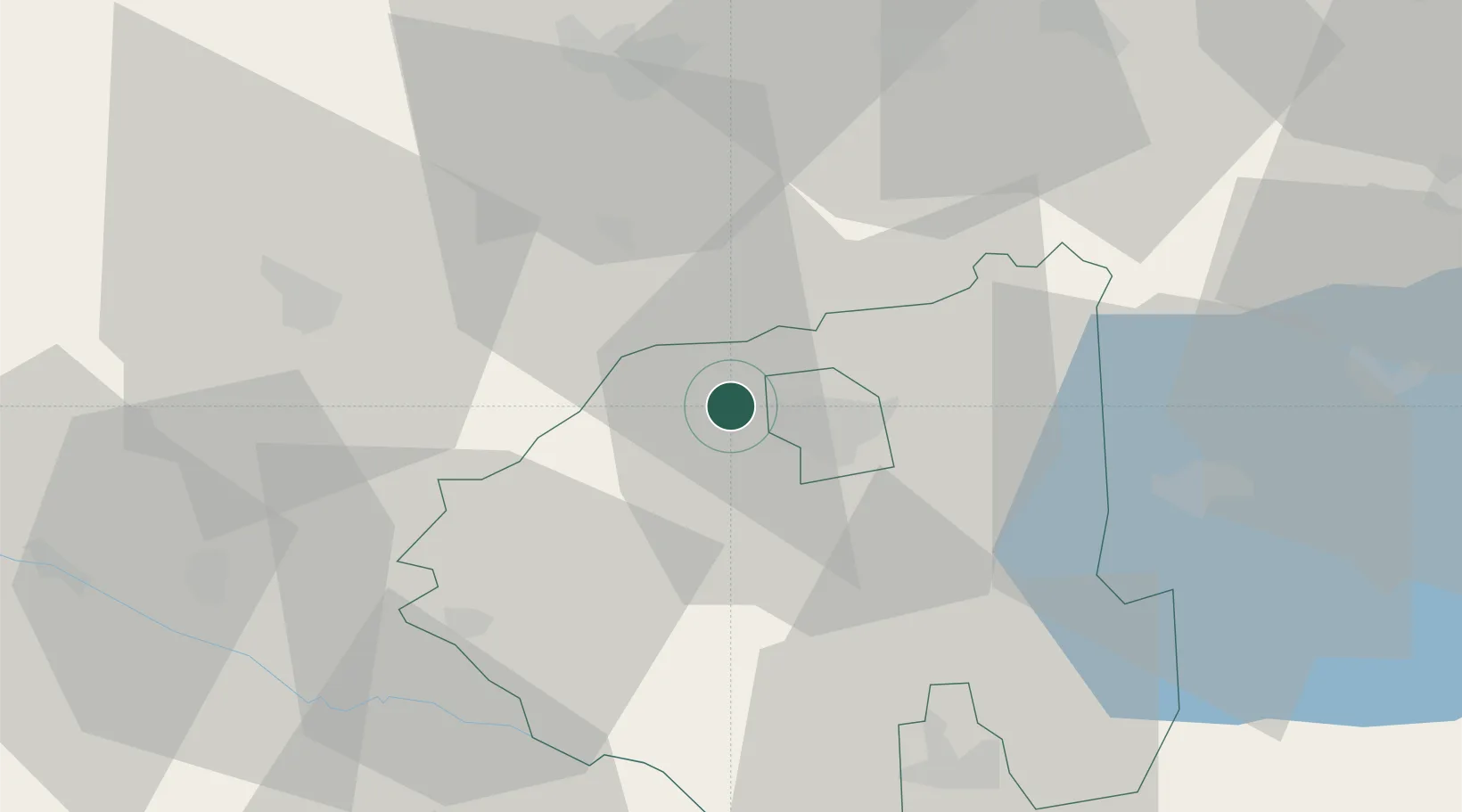
Place type
Populated place
Region
Zala County
Time zone
Europe/Budapest
Elevation
175 m
Location
Nearby Logistics Neighbours
Cities
- 1Zalaegerszeg9 km
- 2Nádasd13 km
- 3Dragoslavec18 km
- 4Nemessándorháza19 km
- 5Körmend20 km
Ports
- 1Bakar243 km
- 2Rijeka Luka246 km
- 3Omisalj249 km
- 4Senj253 km
- 5Trieste267 km
Airports
- 1Hévíz–Balaton Airport38 km
- 2Maribor Edvard Rusjan Airport91 km
- 3Graz Airport99 km
- 4Taszár Air Base105 km
- 5Wiener Neustadt East Airport114 km
Trade Zones
- 1Sjever Free Zone71 km
- 2Krapina-Zagorje Free Zone103 km
- 3PJ Free Zone Zagreb136 km
- 4Göd Special Economic Zone205 km
- 5Duro Daković Free Zone213 km
DatabookThe Record of Consolidated Knowledge
Hungary beyond logistics?