Transport Functions
Rail
Road
Postal
Hub Profile
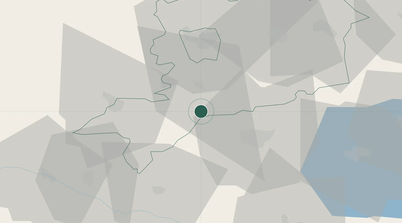
Place type
Populated place
Region
Vas County
Population
1,342
Time zone
Europe/Budapest
Elevation
227 m
Location
Nearby Logistics Neighbours
Cities
- 1Körmend8 km
- 2Bagod13 km
- 3Ratot14 km
- 4Vasvár18 km
- 5Zalaegerszeg21 km
Ports
- 1Bakar244 km
- 2Rijeka Luka246 km
- 3Omisalj250 km
- 4Senj256 km
- 5Trieste264 km
Airports
- 1Hévíz–Balaton Airport51 km
- 2Maribor Edvard Rusjan Airport88 km
- 3Graz Airport89 km
- 4Wiener Neustadt East Airport103 km
- 5Wiener Neustadt West Airport103 km
Trade Zones
- 1Sjever Free Zone76 km
- 2Krapina-Zagorje Free Zone105 km
- 3PJ Free Zone Zagreb140 km
- 4Göd Special Economic Zone209 km
- 5Duro Daković Free Zone225 km
DatabookThe Record of Consolidated Knowledge
Hungary beyond logistics?