Transport Functions
Port
Road
Hub Profile
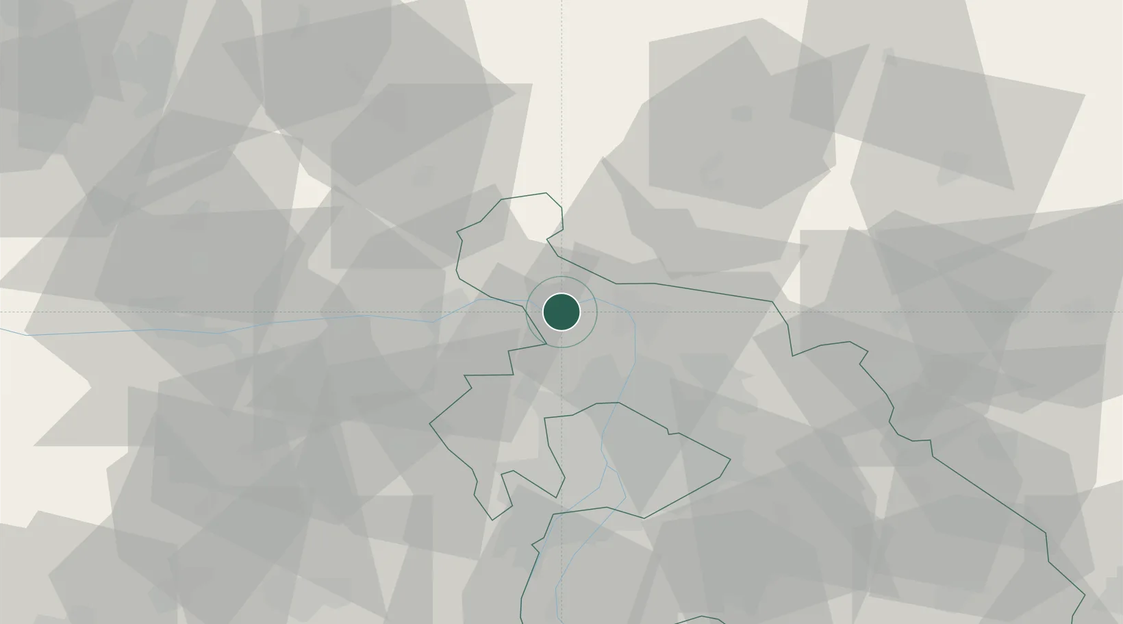
Place type
Populated place
Region
Pest County
Population
1,841
Time zone
Europe/Budapest
Elevation
110 m
Location
Nearby Logistics Neighbours
Cities
- 1Nagymaros2 km
- 2Verocemaros6 km
- 3Vác11 km
- 4Tahitotfalu11 km
- 5Szentendre13 km
Ports
- 1Bakar438 km
- 2Rijeka Luka442 km
- 3Senj442 km
- 4Omisalj444 km
- 5Zaliv Rasa484 km
Airports
- 1Budapest Liszt Ferenc International Airport47 km
- 2Tököl Airport51 km
- 3Győr-Pér Airport89 km
- 4Sliač Airport94 km
- 5Kecskemét Air Base115 km
Trade Zones
- 1Göd Special Economic Zone20 km
- 2Veselí nad Moravou Industrial Zone174 km
- 3Subotica Free Zone198 km
- 4Holešov Industrial Zone200 km
- 5Mošnov Development Area219 km
DatabookThe Record of Consolidated Knowledge
Hungary beyond logistics?